Distance to Chacahoula, Louisiana

Calculating Your Route
Just a moment while we process your request...
Location Information
-
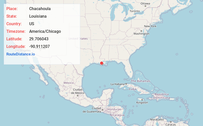
Full AddressChacahoula, LA 70395
-
Coordinates29.7060425, -90.9112065
-
LocationLouisiana , US
-
TimezoneAmerica/Chicago
-
Current Local Time8:52:25 PM America/ChicagoTuesday, May 27, 2025
-
Page Views0
Nearby Places
Found 10 places within 50 miles

Donner
2.1 mi
3.4 km
Donner, LA 70352
Get directions
Bull Run
4.3 mi
6.9 km
Bull Run, LA 70395
Get directions
Lowlands
4.4 mi
7.1 km
Lowlands, LA 70301
Get directions

Gibson
4.9 mi
7.9 km
Gibson, LA 70356
Get directions
Magnolia Plantation
5.7 mi
9.2 km
Magnolia Plantation, LA 70395
Get directions
Rebecca Plantation
6.0 mi
9.7 km
Rebecca Plantation, LA 70395
Get directions

Schriever
6.5 mi
10.5 km
Schriever, LA
Get directions

Ardoyne
6.8 mi
10.9 km
Ardoyne, LA 70395
Get directions
Leighton
7.0 mi
11.3 km
Leighton, LA 70301
Get directions
Naquin
7.1 mi
11.4 km
Naquin, LA 70301
Get directions
Location Links
Local Weather
Weather Information
Coming soon!
Location Map
Static map view of Chacahoula, Louisiana
Browse Places by Distance
Places within specific distances from Chacahoula
Short Distances
Long Distances
Click any distance to see all places within that range from Chacahoula. Distances shown in miles (1 mile ≈ 1.61 kilometers).