Distance to Chalmers, Indiana

Calculating Your Route
Just a moment while we process your request...
Location Information
-
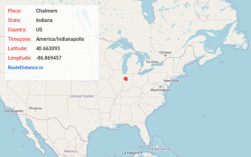
Full AddressChalmers, IN 47929
-
Coordinates40.6630933, -86.8694571
-
LocationChalmers , Indiana , US
-
TimezoneAmerica/Indianapolis
-
Page Views0
About Chalmers
Chalmers is a town in Big Creek Township, White County in the U.S. state of Indiana. Its population was 523 at the 2020 census.

Nearby Places
Found 10 places within 50 miles

Brookston
4.2 mi
6.8 km
Brookston, IN 47923
Get directions

Reynolds
6.0 mi
9.7 km
Reynolds, IN 47980
Get directions

Lakewood
6.0 mi
9.7 km
Lakewood, Union Township, IN 47960
Get directions

Monticello
7.9 mi
12.7 km
Monticello, IN 47960
Get directions

Battle Ground
10.8 mi
17.4 km
Battle Ground, IN
Get directions

Wolcott
11.2 mi
18.0 km
Wolcott, IN 47995
Get directions

Delphi
11.5 mi
18.5 km
Delphi, IN 46923
Get directions

Monon
14.2 mi
22.9 km
Monon, IN 47959
Get directions

Montmorenci
15.6 mi
25.1 km
Montmorenci, IN
Get directions

Remington
16.2 mi
26.1 km
Remington, IN
Get directions
Location Links
Local Weather
Weather Information
Coming soon!
Location Map
Static map view of Chalmers, Indiana
Browse Places by Distance
Places within specific distances from Chalmers
Short Distances
Long Distances
Click any distance to see all places within that range from Chalmers. Distances shown in miles (1 mile ≈ 1.61 kilometers).