Distance to Chalybeate, Kentucky

Calculating Your Route
Just a moment while we process your request...
Location Information
-
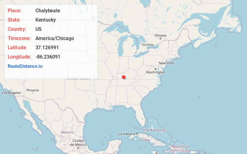
Full AddressChalybeate, KY 42171
-
Coordinates37.1269905, -86.2360907
-
LocationKentucky , US
-
TimezoneAmerica/Chicago
-
Current Local Time4:17:26 AM America/ChicagoSaturday, June 21, 2025
-
Page Views0
About Chalybeate
Chalybeate, also known as Chalybeate Springs, is an unincorporated community in Edmonson County, Kentucky, United States, near the Warren County line.


Nearby Places
Found 10 places within 50 miles

Tuckertown
3.8 mi
6.1 km
Tuckertown, KY 42171
Get directions

Brownsville
4.9 mi
7.9 km
Brownsville, KY 42210
Get directions

Smiths Grove
5.4 mi
8.7 km
Smiths Grove, KY 42171
Get directions

Oakland
5.9 mi
9.5 km
Oakland, KY 42159
Get directions
Rocky Hill
6.8 mi
10.9 km
Rocky Hill, KY 42171
Get directions
Sunnyside
7.9 mi
12.7 km
Sunnyside, KY 42101
Get directions
Chaumont
9.3 mi
15.0 km
Chaumont, KY 42160
Get directions
Ridgedale
9.4 mi
15.1 km
Ridgedale, KY 42285
Get directions
Bristow
10.1 mi
16.3 km
Bristow, KY 42103
Get directions

Park City
10.6 mi
17.1 km
Park City, KY 42160
Get directions
Location Links
Local Weather
Weather Information
Coming soon!
Location Map
Static map view of Chalybeate, Kentucky
Browse Places by Distance
Places within specific distances from Chalybeate
Short Distances
Long Distances
Click any distance to see all places within that range from Chalybeate. Distances shown in miles (1 mile ≈ 1.61 kilometers).