Distance to Chamonix, Auvergne-Rhône-Alpes

Calculating Your Route
Just a moment while we process your request...
Location Information
-
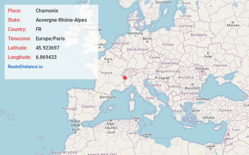
Full AddressChamonix, France
-
Coordinates45.923697, 6.869433
-
LocationChamonix , Auvergne-Rhône-Alpes , FR
-
TimezoneEurope/Paris
-
Current Local Time7:36:34 PM Europe/ParisMonday, June 23, 2025
-
Page Views0
About Chamonix
Chamonix-Mont-Blanc (usually shortened to Chamonix) is a resort area near the junction of France, Switzerland and Italy. At the base of Mont Blanc, the highest summit in the Alps, it's renowned for its skiing. Year-round, cable cars take visitors up to several nearby peaks with panoramic views, including Aiguille du Midi above town, and Pointe Helbronner, across vast glacier fields on the Italian border.


Nearby Places
Found 2 places within 50 miles


Location Links
Local Weather
Weather Information
Coming soon!
Location Map
Static map view of Chamonix, Auvergne-Rhône-Alpes
Browse Places by Distance
Places within specific distances from Chamonix
Short Distances
Long Distances
Click any distance to see all places within that range from Chamonix. Distances shown in miles (1 mile ≈ 1.61 kilometers).