Distance to Champ, Tennessee

Calculating Your Route
Just a moment while we process your request...
Location Information
-
Full AddressChamp, TN 37348
-
Coordinates35.1553611, -86.3852689
-
LocationTennessee , US
-
TimezoneAmerica/Chicago
-
Current Local Time6:25:10 AM America/ChicagoSunday, June 22, 2025
-
Page Views0
Nearby Places
Found 10 places within 50 miles

Smithland
2.3 mi
3.7 km
Smithland, TN 37348
Get directions
Lexie
4.8 mi
7.7 km
Lexie, TN 37306
Get directions
Gattistown Branch
4.9 mi
7.9 km
Gattistown Branch, Tennessee 37359
Get directions

Kelso
5.1 mi
8.2 km
Kelso, TN 37334
Get directions
Lockes Mill
5.4 mi
8.7 km
Lockes Mill, TN 37359
Get directions
Sycamore Swamp
5.4 mi
8.7 km
Sycamore Swamp, TN 37335
Get directions
Mulberry
5.7 mi
9.2 km
Mulberry, TN 37359
Get directions
Lexie Crossroads
5.7 mi
9.2 km
Lexie Crossroads, TN 37306
Get directions
Douglas
6.0 mi
9.7 km
Douglas, TN 37334
Get directions

Flintville
6.7 mi
10.8 km
Flintville, TN 37335
Get directions
Location Links
Local Weather
Weather Information
Coming soon!
Location Map
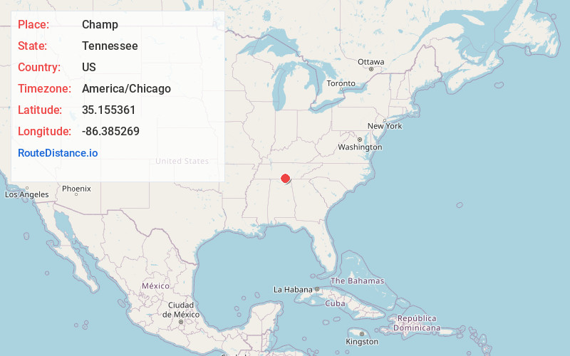
Static map view of Champ, Tennessee
Browse Places by Distance
Places within specific distances from Champ
Short Distances
Long Distances
Click any distance to see all places within that range from Champ. Distances shown in miles (1 mile ≈ 1.61 kilometers).