Distance to Champlain, Virginia

Calculating Your Route
Just a moment while we process your request...
Location Information
-
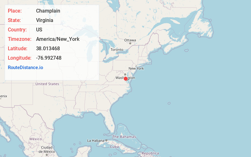
Full AddressChamplain, VA 22438
-
Coordinates38.0134681, -76.9927481
-
LocationChamplain , Virginia , US
-
TimezoneAmerica/New_York
-
Current Local Time11:10:08 PM America/New_YorkWednesday, July 2, 2025
-
Page Views0
About Champlain
Champlain is an unincorporated community in Essex County, Virginia, United States. It lies at the junction of U.S. Route 17 and Route 631 in a rural region of the county.
Champlain's zip code is 22438.
Nearby Places
Found 10 places within 50 miles

Lloyds
1.5 mi
2.4 km
Lloyds, VA 22438
Get directions
Chance
3.1 mi
5.0 km
Chance, VA 22509
Get directions
Battery
3.7 mi
6.0 km
Battery, VA 22560
Get directions
Elevon
4.6 mi
7.4 km
Elevon, VA 22438
Get directions
Layton
5.1 mi
8.2 km
Layton, VA 22438
Get directions
Rexburg
5.3 mi
8.5 km
Rexburg, VA 22560
Get directions
Loretto
5.4 mi
8.7 km
Loretto, VA 22509
Get directions
Beazley
5.4 mi
8.7 km
Beazley, VA 22560
Get directions
Naylors Beach
7.5 mi
12.1 km
Naylors Beach, VA 22572
Get directions
Indian Neck
8.0 mi
12.9 km
Indian Neck, VA 23148
Get directions
Location Links
Local Weather
Weather Information
Coming soon!
Location Map
Static map view of Champlain, Virginia
Browse Places by Distance
Places within specific distances from Champlain
Short Distances
Long Distances
Click any distance to see all places within that range from Champlain. Distances shown in miles (1 mile ≈ 1.61 kilometers).