Distance to Champoeg, Oregon

Calculating Your Route
Just a moment while we process your request...
Location Information
-
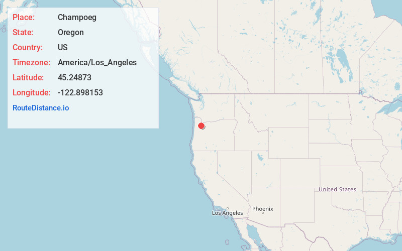
Full AddressChampoeg, OR 97137
-
Coordinates45.24873, -122.8981534
-
LocationChampoeg , Oregon , US
-
TimezoneAmerica/Los_Angeles
-
Current Local Time7:03:45 PM America/Los_AngelesSaturday, June 21, 2025
-
Page Views0
About Champoeg
Champoeg is a former town in the U.S. state of Oregon. Now a ghost town, it was an important settlement in the Willamette Valley in the early 1840s. Located halfway between Oregon City and Salem, it was the site of the first provisional government of the Oregon Country.
Nearby Places
Found 10 places within 50 miles

Butteville
3.0 mi
4.8 km
Butteville, OR 97002
Get directions

Donald
3.4 mi
5.5 km
Donald, OR
Get directions

St Paul
4.6 mi
7.4 km
St Paul, OR 97137
Get directions

Newberg
5.2 mi
8.4 km
Newberg, OR 97132
Get directions

Dundee
5.8 mi
9.3 km
Dundee, OR 97115
Get directions

Hubbard
6.4 mi
10.3 km
Hubbard, OR 97032
Get directions

Middleton
6.8 mi
10.9 km
Middleton, OR 97140
Get directions

Sunnycrest
6.9 mi
11.1 km
Sunnycrest, OR 97115
Get directions

Aurora
7.0 mi
11.3 km
Aurora, OR 97002
Get directions

Wilsonville
7.2 mi
11.6 km
Wilsonville, OR
Get directions
Location Links
Local Weather
Weather Information
Coming soon!
Location Map
Static map view of Champoeg, Oregon
Browse Places by Distance
Places within specific distances from Champoeg
Short Distances
Long Distances
Click any distance to see all places within that range from Champoeg. Distances shown in miles (1 mile ≈ 1.61 kilometers).