Distance to Chandler, Minnesota

Calculating Your Route
Just a moment while we process your request...
Location Information
-
Full AddressChandler, MN 56122
-
Coordinates43.9291325, -95.9472411
-
LocationChandler , Minnesota , US
-
TimezoneAmerica/Chicago
-
Current Local Time12:19:15 PM America/ChicagoWednesday, June 18, 2025
-
Page Views0
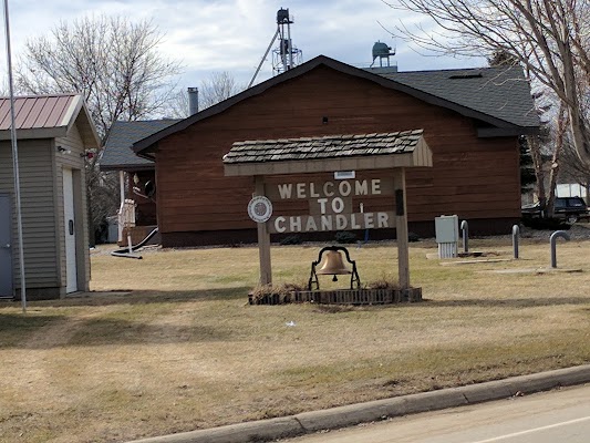
About Chandler
Chandler is a town in Murray County, Minnesota, United States. The population was 279 at the 2020 census.
Main Highways in the area include:
MN-91
Murray County HWY - 4
Murray County HWY - 103
Murray County HWY - 5


Nearby Places
Found 10 places within 50 miles

Edgerton
9.8 mi
15.8 km
Edgerton, MN 56128
Get directions

Slayton
10.3 mi
16.6 km
Slayton, MN 56172
Get directions

The Lakes
16.8 mi
27.0 km
The Lakes, MN
Get directions

Fulda
17.7 mi
28.5 km
Fulda, MN 56131
Get directions

Pipestone
18.8 mi
30.3 km
Pipestone, MN 56164
Get directions

Adrian
20.3 mi
32.7 km
Adrian, MN 56110
Get directions

Balaton
21.5 mi
34.6 km
Balaton, MN 56115
Get directions

Luverne
22.8 mi
36.7 km
Luverne, MN 56156
Get directions

Jasper
23.1 mi
37.2 km
Jasper, MN 56144
Get directions
Tyler
25.7 mi
41.4 km
Tyler, MN 56178
Get directions
Location Links
Local Weather
Weather Information
Coming soon!
Location Map
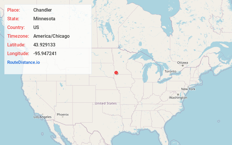
Static map view of Chandler, Minnesota
Browse Places by Distance
Places within specific distances from Chandler
Short Distances
Long Distances
Click any distance to see all places within that range from Chandler. Distances shown in miles (1 mile ≈ 1.61 kilometers).