Distance to Chandler Township, Michigan

Calculating Your Route
Just a moment while we process your request...
Location Information
-
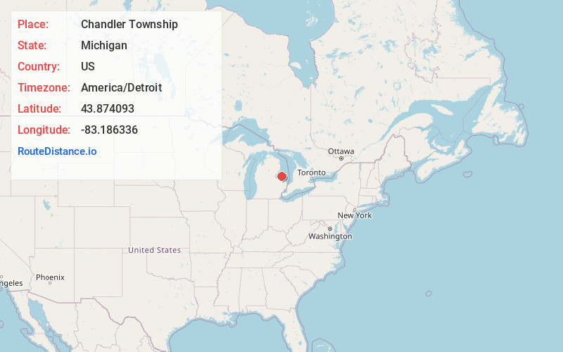
Full AddressChandler Township, MI
-
Coordinates43.8740927, -83.1863358
-
LocationChandler Township , Michigan , US
-
TimezoneAmerica/Detroit
-
Current Local Time10:30:05 AM America/DetroitTuesday, June 24, 2025
-
Page Views0
About Chandler Township
Chandler Township is a civil township of Huron County in the U.S. state of Michigan. The population was 454 at the 2020 census. The township was organized in 1879.


Nearby Places
Found 10 places within 50 miles

Elkton
3.8 mi
6.1 km
Elkton, MI 48731
Get directions

McKinley Township
4.3 mi
6.9 km
McKinley Township, MI
Get directions
Berne
4.6 mi
7.4 km
Berne, McKinley Township, MI 48755
Get directions

Pigeon
5.2 mi
8.4 km
Pigeon, MI 48755
Get directions
Pinnebog
5.9 mi
9.5 km
Pinnebog, Meade Township, MI 48445
Get directions

Caseville
6.3 mi
10.1 km
Caseville, MI 48725
Get directions

Oak Point
7.9 mi
12.7 km
Oak Point, Caseville Township, MI 48725
Get directions

Winsor Township
8.0 mi
12.9 km
Winsor Township, MI
Get directions
Popple
8.4 mi
13.5 km
Popple, Colfax Township, MI 48413
Get directions
Linkville
9.0 mi
14.5 km
Linkville, Winsor Township, MI 48755
Get directions
Location Links
Local Weather
Weather Information
Coming soon!
Location Map
Static map view of Chandler Township, Michigan
Browse Places by Distance
Places within specific distances from Chandler Township
Short Distances
Long Distances
Click any distance to see all places within that range from Chandler Township. Distances shown in miles (1 mile ≈ 1.61 kilometers).