Distance to Chapel, Missouri

Calculating Your Route
Just a moment while we process your request...
Location Information
-
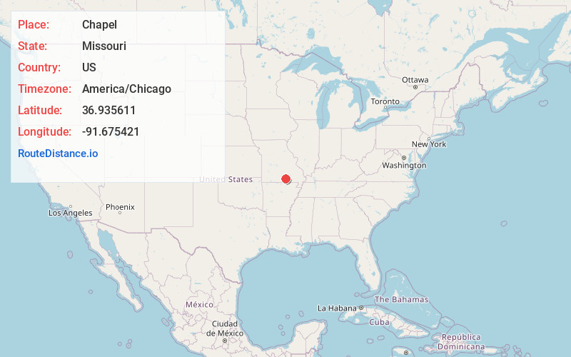
Full AddressChapel, MO 65548
-
Coordinates36.935611, -91.6754212
-
LocationChapel , Missouri , US
-
TimezoneAmerica/Chicago
-
Current Local Time1:19:50 AM America/ChicagoFriday, May 23, 2025
-
Page Views0
Nearby Places
Found 10 places within 50 miles

Teresita
4.3 mi
6.9 km
Teresita, MO 65548
Get directions

Mountain View
4.4 mi
7.1 km
Mountain View, MO 65548
Get directions

Montier
6.6 mi
10.6 km
Montier, MO
Get directions
Trask
7.5 mi
12.1 km
Trask, Hutton Valley Township, MO 65548
Get directions
Turnerville
8.1 mi
13.0 km
Turnerville, Goldsberry Township, MO 65548
Get directions
Ratcliff Ford
8.3 mi
13.4 km
Ratcliff Ford, Date Township, MO 65571
Get directions
Harlow Ford
9.6 mi
15.4 km
Harlow Ford, Date Township, MO 65571
Get directions
Fanchon
9.8 mi
15.8 km
Fanchon, Sisson Township, MO 65788
Get directions

Birch Tree
10.8 mi
17.4 km
Birch Tree, MO 65438
Get directions
Pine Crest
10.8 mi
17.4 km
Pine Crest, Date Township, MO 65571
Get directions
Location Links
Local Weather
Weather Information
Coming soon!
Location Map
Static map view of Chapel, Missouri
Browse Places by Distance
Places within specific distances from Chapel
Short Distances
Long Distances
Click any distance to see all places within that range from Chapel. Distances shown in miles (1 mile ≈ 1.61 kilometers).