Distance to Charles City, Iowa

Calculating Your Route
Just a moment while we process your request...
Location Information
-
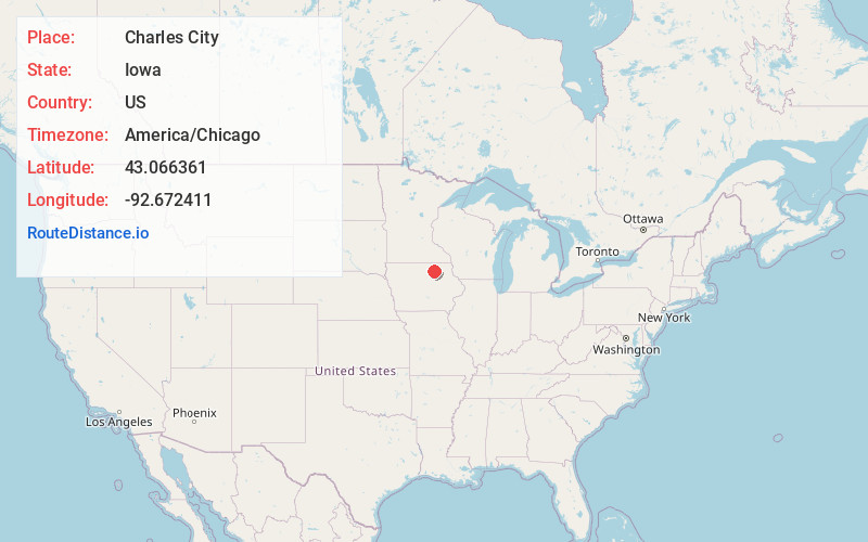
Full AddressCharles City, IA 50616
-
Coordinates43.0663612, -92.6724112
-
LocationCharles City , Iowa , US
-
TimezoneAmerica/Chicago
-
Current Local Time7:14:33 PM America/ChicagoFriday, June 20, 2025
-
Page Views0
About Charles City
Charles City is a city in and the county seat of Floyd County, Iowa, United States. Charles City is a significant commercial and transportation center for the area. U.S. Routes 18 and 218, Iowa Highway 14, and the Canadian National and Canadian Pacific railroads serve the city.


Nearby Places
Found 7 places within 50 miles

Waverly
25.6 mi
41.2 km
Waverly, IA 50677
Get directions

Mason City
27.4 mi
44.1 km
Mason City, IA 50401
Get directions

Clear Lake
36.0 mi
57.9 km
Clear Lake, IA 50428
Get directions

Cedar Falls
38.5 mi
62.0 km
Cedar Falls, IA
Get directions

Waterloo
43.0 mi
69.2 km
Waterloo, IA
Get directions

Austin
44.2 mi
71.1 km
Austin, MN 55912
Get directions

Decorah
47.6 mi
76.6 km
Decorah, IA 52101
Get directions
Location Links
Local Weather
Weather Information
Coming soon!
Location Map
Static map view of Charles City, Iowa
Browse Places by Distance
Places within specific distances from Charles City
Short Distances
Long Distances
Click any distance to see all places within that range from Charles City. Distances shown in miles (1 mile ≈ 1.61 kilometers).