Distance to Charlestown State Park, Indiana

Calculating Your Route
Just a moment while we process your request...
Location Information
-
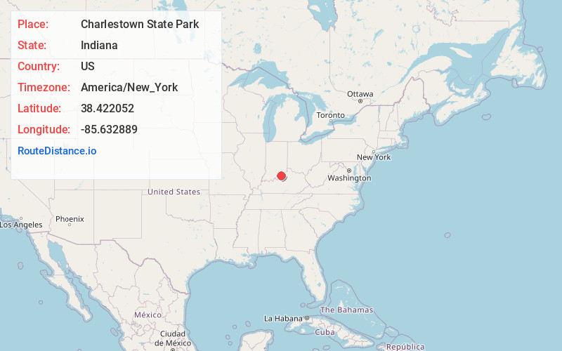
Full AddressCharlestown State Park, 3000 State Park Drive, Charlestown, IN 47111
-
Coordinates38.4220523, -85.6328885
-
Street3000 State Park Drive
-
LocationCharlestown , Indiana , US
-
TimezoneAmerica/New_York
-
Current Local Time12:59:08 PM America/New_YorkSunday, June 1, 2025
-
Website
-
Page Views0
About Charlestown State Park
Scenic spot with rugged terrain for hiking & bird-watching, plus fishing & full hookup camping site.


Nearby Places
Found 10 places within 50 miles

Harmony Village
1.4 mi
2.3 km
Harmony Village, KY 40059
Get directions
Oldham Acres
1.8 mi
2.9 km
Oldham Acres, KY 40059
Get directions
Belknap Beach
2.8 mi
4.5 km
Belknap Beach, KY 40059
Get directions

Charlestown
2.9 mi
4.7 km
Charlestown, IN 47111
Get directions

Goshen
3.0 mi
4.8 km
Goshen, KY 40026
Get directions

River Ridge
3.1 mi
5.0 km
River Ridge, IN 47111
Get directions
Harmony Lake Estates
3.1 mi
5.0 km
Harmony Lake Estates, KY 40026
Get directions
Charlestown Township
3.6 mi
5.8 km
Charlestown Township, IN
Get directions
River Bluff
3.8 mi
6.1 km
River Bluff, KY 40059
Get directions
Longview Beach
3.9 mi
6.3 km
Longview Beach, Utica Township, IN 47130
Get directions
Location Links
Local Weather
Weather Information
Coming soon!
Location Map
Static map view of Charlestown State Park, Indiana
Browse Places by Distance
Places within specific distances from Charlestown State Park
Short Distances
Long Distances
Click any distance to see all places within that range from Charlestown State Park. Distances shown in miles (1 mile ≈ 1.61 kilometers).