Distance to Charlestown Township, Pennsylvania

Calculating Your Route
Just a moment while we process your request...
Location Information
-
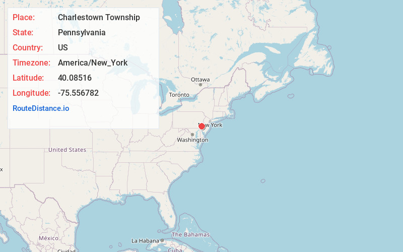
Full AddressCharlestown Township, PA
-
Coordinates40.0851595, -75.5567821
-
LocationCharlestown Township , Pennsylvania , US
-
TimezoneAmerica/New_York
-
Current Local Time10:52:04 AM America/New_YorkSaturday, June 21, 2025
-
Page Views0
About Charlestown Township
Charlestown Township is a township in Chester County, Pennsylvania, United States. The population was 5,999 at the 2020 census.
Part of the University of Valley Forge's campus, formerly the location of the Valley Forge General Hospital, is located in Charlestown Township.


Nearby Places
Found 10 places within 50 miles

East Whiteland Township
3.1 mi
5.0 km
East Whiteland Township, PA
Get directions

East Pikeland Township
3.5 mi
5.6 km
East Pikeland Township, PA
Get directions

Phoenixville
3.8 mi
6.1 km
Phoenixville, PA 19460
Get directions

Paoli
4.7 mi
7.6 km
Paoli, PA
Get directions

Lionville
4.8 mi
7.7 km
Lionville, PA 19341
Get directions

West Whiteland Township
4.9 mi
7.9 km
West Whiteland Township, PA
Get directions

Exton
5.2 mi
8.4 km
Exton, PA 19341
Get directions

East Vincent Township
5.7 mi
9.2 km
East Vincent Township, PA
Get directions
Uwchlan Township
5.7 mi
9.2 km
Uwchlan Township, PA
Get directions

East Goshen Township
5.9 mi
9.5 km
East Goshen Township, PA
Get directions
Location Links
Local Weather
Weather Information
Coming soon!
Location Map
Static map view of Charlestown Township, Pennsylvania
Browse Places by Distance
Places within specific distances from Charlestown Township
Short Distances
Long Distances
Click any distance to see all places within that range from Charlestown Township. Distances shown in miles (1 mile ≈ 1.61 kilometers).