Distance to Chataignier, Louisiana

Calculating Your Route
Just a moment while we process your request...
Location Information
-
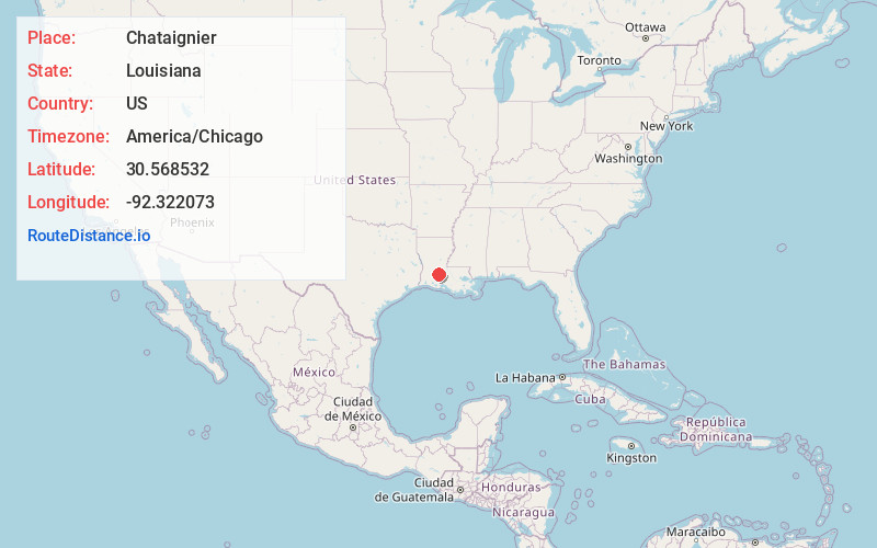
Full AddressChataignier, LA 70586
-
Coordinates30.5685318, -92.3220732
-
LocationChataignier , Louisiana , US
-
TimezoneAmerica/Chicago
-
Current Local Time4:19:10 AM America/ChicagoSunday, June 8, 2025
-
Page Views0
About Chataignier
Chataignier is a village in Evangeline Parish, Louisiana, United States. The population was 364 at the 2010 census.
Nearby Places
Found 10 places within 50 miles

Mamou
7.3 mi
11.7 km
Mamou, LA 70554
Get directions

Eunice
7.7 mi
12.4 km
Eunice, LA 70535
Get directions

Ville Platte
8.8 mi
14.2 km
Ville Platte, LA 70586
Get directions

Lawtell
8.8 mi
14.2 km
Lawtell, LA 70570
Get directions

Reddell
9.6 mi
15.4 km
Reddell, LA
Get directions

Church Point
13.1 mi
21.1 km
Church Point, LA 70525
Get directions

Opelousas
14.5 mi
23.3 km
Opelousas, LA 70570
Get directions

Branch
15.5 mi
24.9 km
Branch, LA 70516
Get directions

Pine Prairie
16.1 mi
25.9 km
Pine Prairie, LA
Get directions

Washington
16.1 mi
25.9 km
Washington, LA 70589
Get directions
Location Links
Local Weather
Weather Information
Coming soon!
Location Map
Static map view of Chataignier, Louisiana
Browse Places by Distance
Places within specific distances from Chataignier
Short Distances
Long Distances
Click any distance to see all places within that range from Chataignier. Distances shown in miles (1 mile ≈ 1.61 kilometers).