Distance to Chatmoss, Virginia

Calculating Your Route
Just a moment while we process your request...
Location Information
-
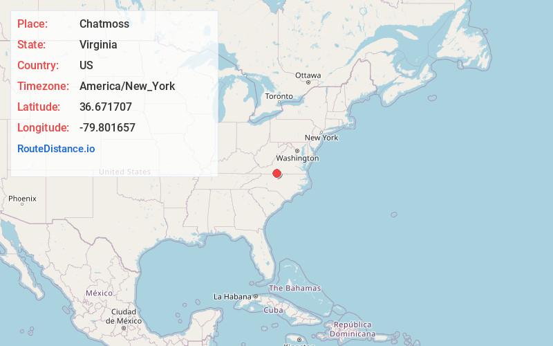
Full AddressChatmoss, VA
-
Coordinates36.6717067, -79.8016569
-
LocationChatmoss , Virginia , US
-
TimezoneAmerica/New_York
-
Current Local Time9:00:48 AM America/New_YorkSunday, June 22, 2025
-
Page Views0
About Chatmoss
Chatmoss is a census-designated place in Henry County, Virginia, United States. The population was 1,698 at the 2010 census, down slightly from the 1,742 reported in 2000. It is part of the Martinsville Micropolitan Statistical Area.
Nearby Places
Found 10 places within 50 miles

Laurel Park
1.1 mi
1.8 km
Laurel Park, VA 24112
Get directions

Martinsville
4.2 mi
6.8 km
Martinsville, VA 24112
Get directions

Collinsville
7.0 mi
11.3 km
Collinsville, VA
Get directions

Ridgeway
7.3 mi
11.7 km
Ridgeway, VA 24148
Get directions

Horse Pasture
8.8 mi
14.2 km
Horse Pasture, VA
Get directions

Stanleytown
10.2 mi
16.4 km
Stanleytown, VA
Get directions

Eden
12.8 mi
20.6 km
Eden, NC 27288
Get directions

Stoneville
15.3 mi
24.6 km
Stoneville, NC 27048
Get directions

Wentworth
18.8 mi
30.3 km
Wentworth, NC 27320
Get directions

Mayodan
20.1 mi
32.3 km
Mayodan, NC 27027
Get directions
Location Links
Local Weather
Weather Information
Coming soon!
Location Map
Static map view of Chatmoss, Virginia
Browse Places by Distance
Places within specific distances from Chatmoss
Short Distances
Long Distances
Click any distance to see all places within that range from Chatmoss. Distances shown in miles (1 mile ≈ 1.61 kilometers).