Distance to Chauncey, Michigan

Calculating Your Route
Just a moment while we process your request...
Location Information
-
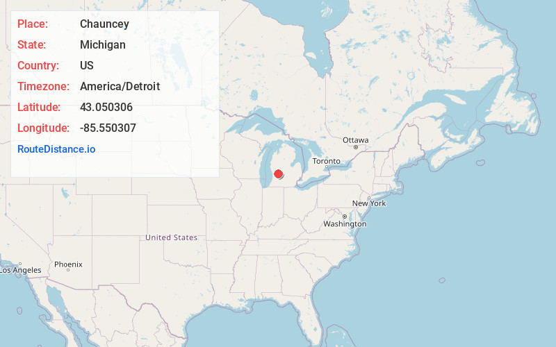
Full AddressChauncey, Cannon Township, MI 49306
-
Coordinates43.0503055, -85.5503065
-
LocationCannon Township , Michigan , US
-
TimezoneAmerica/Detroit
-
Current Local Time11:32:34 PM America/DetroitSaturday, June 21, 2025
-
Page Views0
About Chauncey
Chauncey, previously known as Buena Vista and Imperial Mills is an unincorporated, mostly historical settlement in Kent County in the U.S. state of Michigan. It is on the boundary between Cannon Township and Plainfield Township at 43°03′01″N 85°33′01″W, several miles northeast of Grand Rapids.
Nearby Places
Found 10 places within 50 miles

Northview
2.9 mi
4.7 km
Northview, MI 49525
Get directions

Cannonsburg
4.1 mi
6.6 km
Cannonsburg, MI
Get directions

Rockford
4.8 mi
7.7 km
Rockford, MI
Get directions

Bostwick Lake
5.6 mi
9.0 km
Bostwick Lake, Cannon Township, MI 49341
Get directions

Comstock Park
6.1 mi
9.8 km
Comstock Park, MI
Get directions

Ada Township
7.3 mi
11.7 km
Ada Township, MI
Get directions

Forest Hills
7.8 mi
12.6 km
Forest Hills, MI
Get directions

Grand Rapids
8.3 mi
13.4 km
Grand Rapids, MI
Get directions

Alpine Township
8.4 mi
13.5 km
Alpine Township, MI
Get directions
Moseley
10.1 mi
16.3 km
Moseley, Grattan Township, MI 49331
Get directions
Location Links
Local Weather
Weather Information
Coming soon!
Location Map
Static map view of Chauncey, Michigan
Browse Places by Distance
Places within specific distances from Chauncey
Short Distances
Long Distances
Click any distance to see all places within that range from Chauncey. Distances shown in miles (1 mile ≈ 1.61 kilometers).