Distance to Chemung, Pennsylvania

Calculating Your Route
Just a moment while we process your request...
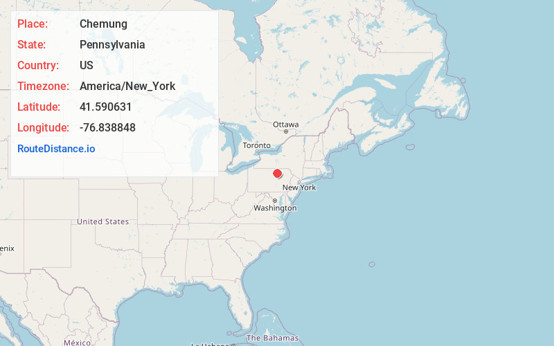
Location Information
-
Full AddressChemung, McNett Township, PA 17765
-
Coordinates41.5906311, -76.8388481
-
LocationMcNett Township , Pennsylvania , US
-
TimezoneAmerica/New_York
-
Current Local Time6:48:58 PM America/New_YorkFriday, June 20, 2025
-
Page Views0
About Chemung
Chemung is an unincorporated community in McNett Township, Lycoming County, Pennsylvania, United States. Chemung is located on Quadrant Route 1013 in extreme northern Lycoming County, 4.6 miles south of Canton.
Nearby Places
Found 10 places within 50 miles

Penbryn
2.0 mi
3.2 km
Penbryn, Union Township, PA 17765
Get directions
Leolyn
2.5 mi
4.0 km
Leolyn, PA 17765
Get directions
Wheelerville
3.0 mi
4.8 km
Wheelerville, PA 17768
Get directions

Cedar Ledge
3.8 mi
6.1 km
Cedar Ledge, PA 17724
Get directions
Canton
4.6 mi
7.4 km
Canton, PA 17724
Get directions
Gleason
5.7 mi
9.2 km
Gleason, PA 17724
Get directions
Minnequa
5.8 mi
9.3 km
Minnequa, Canton Township, PA 17724
Get directions
Masten
5.9 mi
9.5 km
Masten, PA 17724
Get directions
Piatt
6.9 mi
11.1 km
Piatt, Fox Township, PA 17768
Get directions
Ogdensburg
7.0 mi
11.3 km
Ogdensburg, PA 17765
Get directions
Location Links
Local Weather
Weather Information
Coming soon!
Location Map
Static map view of Chemung, Pennsylvania
Browse Places by Distance
Places within specific distances from Chemung
Short Distances
Long Distances
Click any distance to see all places within that range from Chemung. Distances shown in miles (1 mile ≈ 1.61 kilometers).