Distance to Chenango Forks, New York

Calculating Your Route
Just a moment while we process your request...
Location Information
-
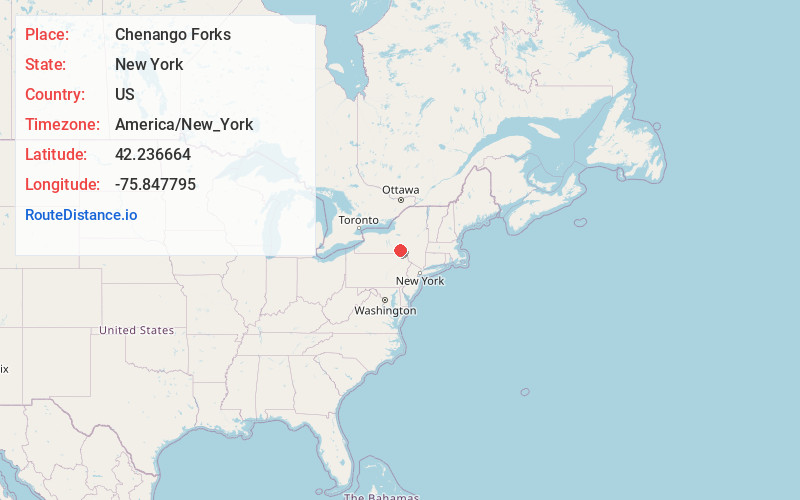
Full AddressChenango Forks, NY 13746
-
Coordinates42.2366636, -75.8477951
-
LocationChenango Forks , New York , US
-
TimezoneAmerica/New_York
-
Current Local Time5:22:45 AM America/New_YorkWednesday, June 18, 2025
-
Page Views0
About Chenango Forks
Chenango Forks is a hamlet located in Broome County, New York, United States. The community is situated partly in the town of Chenango and partly in the town of Barker.
Chenango Forks is approximately 9 miles north of Binghamton on Route 12 and is at the confluence of the Chenango and Tioughnioga rivers.


Nearby Places
Found 10 places within 50 miles

Chenango Bridge
4.9 mi
7.9 km
Chenango Bridge, NY 13901
Get directions
North Colesville
6.5 mi
10.5 km
North Colesville, Colesville, NY 13833
Get directions

Triangle
7.3 mi
11.7 km
Triangle, NY 13746
Get directions

Port Dickinson
7.6 mi
12.2 km
Port Dickinson, NY 13901
Get directions
Glen Aubrey
8.4 mi
13.5 km
Glen Aubrey, NY
Get directions

Whitney Point
8.8 mi
14.2 km
Whitney Point, NY 13862
Get directions

Johnson City
10.1 mi
16.3 km
Johnson City, NY
Get directions

Binghamton
10.2 mi
16.4 km
Binghamton, NY
Get directions

Nanticoke
10.9 mi
17.5 km
Nanticoke, NY 13797
Get directions
Smithville Flats
11.1 mi
17.9 km
Smithville Flats, NY
Get directions
Location Links
Local Weather
Weather Information
Coming soon!
Location Map
Static map view of Chenango Forks, New York
Browse Places by Distance
Places within specific distances from Chenango Forks
Short Distances
Long Distances
Click any distance to see all places within that range from Chenango Forks. Distances shown in miles (1 mile ≈ 1.61 kilometers).