Distance to Cherry Creek, New York

Calculating Your Route
Just a moment while we process your request...
Location Information
-
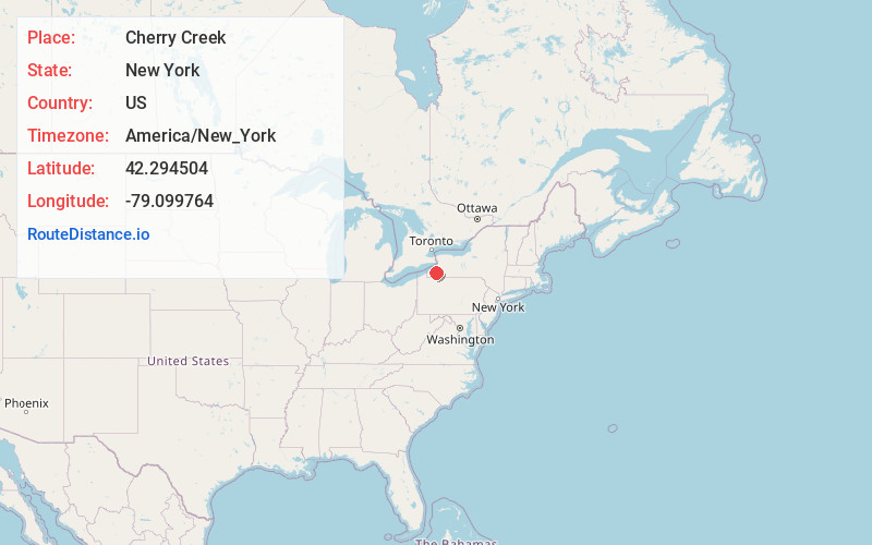
Full AddressCherry Creek, NY 14723
-
Coordinates42.2945042, -79.0997635
-
LocationCherry Creek , New York , US
-
TimezoneAmerica/New_York
-
Current Local Time7:13:19 PM America/New_YorkSunday, June 1, 2025
-
Page Views0
About Cherry Creek
Cherry Creek is a hamlet in Chautauqua County, New York, United States. The population was 461 at the 2010 census, when it was an incorporated village. The hamlet is within the town of Cherry Creek near the east border of the county. It is located on New York State Route 83 and a stream called Cherry Creek.
Nearby Places
Found 10 places within 50 miles

Conewango Valley
4.2 mi
6.8 km
Conewango Valley, NY 14726
Get directions
Villenova
7.8 mi
12.6 km
Villenova, NY
Get directions
Arkwright
10.4 mi
16.7 km
Arkwright, NY 14063
Get directions
New Albion
10.8 mi
17.4 km
New Albion, NY 14719
Get directions

Randolph
11.1 mi
17.9 km
Randolph, NY 14772
Get directions

Cattaraugus
12.1 mi
19.5 km
Cattaraugus, NY 14719
Get directions
Perrysburg
12.3 mi
19.8 km
Perrysburg, NY 14129
Get directions

Hanover
13.1 mi
21.1 km
Hanover, NY
Get directions

Falconer
13.2 mi
21.2 km
Falconer, NY
Get directions

Stockton
13.2 mi
21.2 km
Stockton, NY 14784
Get directions
Location Links
Local Weather
Weather Information
Coming soon!
Location Map
Static map view of Cherry Creek, New York
Browse Places by Distance
Places within specific distances from Cherry Creek
Short Distances
Long Distances
Click any distance to see all places within that range from Cherry Creek. Distances shown in miles (1 mile ≈ 1.61 kilometers).