Distance to Cherry Grove, Oregon

Calculating Your Route
Just a moment while we process your request...
Location Information
-
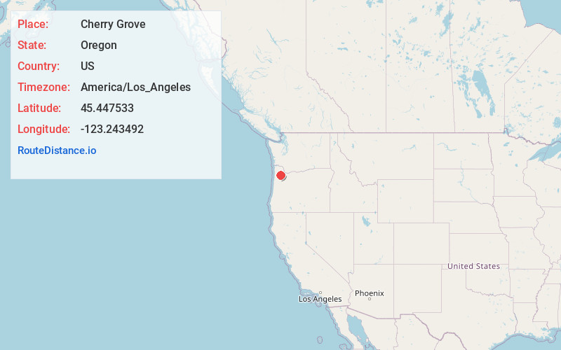
Full AddressCherry Grove, OR 97119
-
Coordinates45.4475332, -123.2434922
-
LocationCherry Grove , Oregon , US
-
TimezoneAmerica/Los_Angeles
-
Current Local Time12:44:12 PM America/Los_AngelesWednesday, June 18, 2025
-
Page Views0
About Cherry Grove
Cherry Grove is an unincorporated community in Washington County, Oregon, United States. Cherry Grove is situated on the north bank of the Tualatin River near where it exits the Northern Oregon Coast Range and enters Patton Valley.
Nearby Places
Found 10 places within 50 miles

Gaston
5.0 mi
8.0 km
Gaston, OR 97119
Get directions

Yamhill
7.8 mi
12.6 km
Yamhill, OR 97148
Get directions

Forest Grove
8.1 mi
13.0 km
Forest Grove, OR 97116
Get directions

Cornelius
10.3 mi
16.6 km
Cornelius, OR
Get directions

Carlton
11.1 mi
17.9 km
Carlton, OR 97111
Get directions

Hillsboro
13.3 mi
21.4 km
Hillsboro, OR
Get directions

Banks
13.3 mi
21.4 km
Banks, OR 97106
Get directions

Lafayette
15.5 mi
24.9 km
Lafayette, OR
Get directions

North Plains
15.7 mi
25.3 km
North Plains, OR 97133
Get directions

Dundee
16.3 mi
26.2 km
Dundee, OR 97115
Get directions
Location Links
Local Weather
Weather Information
Coming soon!
Location Map
Static map view of Cherry Grove, Oregon
Browse Places by Distance
Places within specific distances from Cherry Grove
Short Distances
Long Distances
Click any distance to see all places within that range from Cherry Grove. Distances shown in miles (1 mile ≈ 1.61 kilometers).