Distance to Cherry Grove, North Carolina

Calculating Your Route
Just a moment while we process your request...
Location Information
-
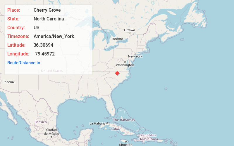
Full AddressCherry Grove, NC 27320
-
Coordinates36.30694, -79.45972
-
LocationCherry Grove , North Carolina , US
-
TimezoneAmerica/New_York
-
Current Local Time9:05:04 AM America/New_YorkSunday, May 25, 2025
-
Page Views0
About Cherry Grove
Cherry Grove is an unincorporated community in southwestern Caswell County, North Carolina, United States, east of Camp Springs, and west of Milesville.
Nearby Places
Found 10 places within 50 miles

Locust Hill
3.9 mi
6.3 km
Locust Hill, NC 27320
Get directions
Stony Creek
4.0 mi
6.4 km
Stony Creek, NC 27217
Get directions
Matkins
4.9 mi
7.9 km
Matkins, NC 27249
Get directions
Fitch
5.6 mi
9.0 km
Fitch, NC 27379
Get directions
Williamsburg
7.9 mi
12.7 km
Williamsburg, NC 27320
Get directions
West Yanceyville
8.0 mi
12.9 km
West Yanceyville, NC 27379
Get directions
Clover Garden
8.2 mi
13.2 km
Clover Garden, NC 27217
Get directions
Baynes
9.0 mi
14.5 km
Baynes, NC 27217
Get directions

Yanceyville
9.6 mi
15.4 km
Yanceyville, NC
Get directions
Ossipee
9.6 mi
15.4 km
Ossipee, NC 27244
Get directions
Location Links
Local Weather
Weather Information
Coming soon!
Location Map
Static map view of Cherry Grove, North Carolina
Browse Places by Distance
Places within specific distances from Cherry Grove
Short Distances
Long Distances
Click any distance to see all places within that range from Cherry Grove. Distances shown in miles (1 mile ≈ 1.61 kilometers).