Distance to Cherry Valley, Illinois

Calculating Your Route
Just a moment while we process your request...
Location Information
-
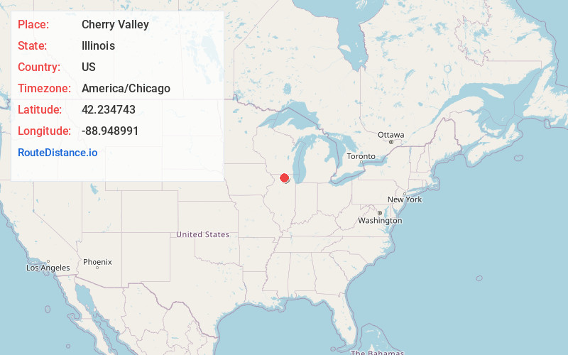
Full AddressCherry Valley, IL
-
Coordinates42.2347434, -88.9489912
-
LocationCherry Valley , Illinois , US
-
TimezoneAmerica/Chicago
-
Current Local Time3:11:47 PM America/ChicagoTuesday, June 3, 2025
-
Page Views0
About Cherry Valley
Cherry Valley is a village of 8.72 square miles that lies primarily in Winnebago County. Approximately ten percent of the village is within Boone County. The village is within the Rockford, Illinois Metropolitan Statistical Area, and borders the southeast side of Rockford.


Nearby Places
Found 10 places within 50 miles

Belvidere
5.7 mi
9.2 km
Belvidere, IL 61008
Get directions

Rockford
7.5 mi
12.1 km
Rockford, IL
Get directions

Loves Park
8.1 mi
13.0 km
Loves Park, IL
Get directions

Poplar Grove
11.3 mi
18.2 km
Poplar Grove, IL
Get directions

Roscoe
12.7 mi
20.4 km
Roscoe, IL
Get directions

Winnebago
15.1 mi
24.3 km
Winnebago, IL
Get directions

Genoa
16.2 mi
26.1 km
Genoa, IL 60135
Get directions

Rockton
16.3 mi
26.2 km
Rockton, IL
Get directions

Byron
17.4 mi
28.0 km
Byron, IL 61010
Get directions

Marengo
17.4 mi
28.0 km
Marengo, IL 60152
Get directions
Location Links
Local Weather
Weather Information
Coming soon!
Location Map
Static map view of Cherry Valley, Illinois
Browse Places by Distance
Places within specific distances from Cherry Valley
Short Distances
Long Distances
Click any distance to see all places within that range from Cherry Valley. Distances shown in miles (1 mile ≈ 1.61 kilometers).