Distance to Cherryland, California

Calculating Your Route
Just a moment while we process your request...
Location Information
-
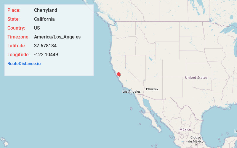
Full AddressCherryland, CA 94541
-
Coordinates37.6781844, -122.1044904
-
LocationCherryland , California , US
-
TimezoneAmerica/Los_Angeles
-
Current Local Time11:25:37 PM America/Los_AngelesMonday, June 30, 2025
-
Page Views0
About Cherryland
Cherryland is an unincorporated community and census-designated place in Alameda County, California, United States. Cherryland is located between Ashland to the north and the city of Hayward to the south. The population was 15,808 at the 2020 census.


Nearby Places
Found 10 places within 50 miles

San Lorenzo
1.2 mi
1.9 km
San Lorenzo, CA
Get directions

Ashland
1.3 mi
2.1 km
Ashland, CA
Get directions

Hayward
1.4 mi
2.3 km
Hayward, CA
Get directions

Castro Valley
2.1 mi
3.4 km
Castro Valley, CA
Get directions

San Leandro
4.4 mi
7.1 km
San Leandro, CA
Get directions

Union City
6.7 mi
10.8 km
Union City, CA
Get directions

San Ramon
10.2 mi
16.4 km
San Ramon, CA
Get directions

Dublin
10.8 mi
17.4 km
Dublin, CA 94568
Get directions

Newark
10.9 mi
17.5 km
Newark, CA 94560
Get directions

Moraga
10.9 mi
17.5 km
Moraga, CA
Get directions
Location Links
Local Weather
Weather Information
Coming soon!
Location Map
Static map view of Cherryland, California
Browse Places by Distance
Places within specific distances from Cherryland
Short Distances
Long Distances
Click any distance to see all places within that range from Cherryland. Distances shown in miles (1 mile ≈ 1.61 kilometers).