Distance to Chester, Massachusetts

Calculating Your Route
Just a moment while we process your request...
Location Information
-
Full AddressChester, MA
-
Coordinates42.2792551, -72.978712
-
LocationChester , Massachusetts , US
-
TimezoneAmerica/New_York
-
Current Local Time5:41:41 PM America/New_YorkSunday, June 1, 2025
-
Page Views0
About Chester
Chester is a town in Hampden County, Massachusetts, United States, situated in Western Massachusetts. It is part of the Springfield metropolitan statistical area. The town includes the Chester Factory Village Historic District. The total population was 1,228 in the 2020 census.


Nearby Places
Found 10 places within 50 miles

Huntington
6.0 mi
9.7 km
Huntington, MA 01050
Get directions

Becket
6.5 mi
10.5 km
Becket, MA
Get directions

Otis
8.3 mi
13.4 km
Otis, MA
Get directions

Westhampton
10.6 mi
17.1 km
Westhampton, MA 01027
Get directions

Granville
12.7 mi
20.4 km
Granville, MA
Get directions

Southampton
13.2 mi
21.2 km
Southampton, MA 01073
Get directions

Hinsdale
13.3 mi
21.4 km
Hinsdale, MA
Get directions

Lee
13.9 mi
22.4 km
Lee, MA
Get directions

Williamsburg
14.9 mi
24.0 km
Williamsburg, MA
Get directions

Westfield
15.8 mi
25.4 km
Westfield, MA 01085
Get directions
Location Links
Local Weather
Weather Information
Coming soon!
Location Map
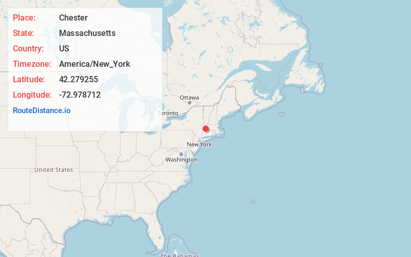
Static map view of Chester, Massachusetts
Browse Places by Distance
Places within specific distances from Chester
Short Distances
Long Distances
Click any distance to see all places within that range from Chester. Distances shown in miles (1 mile ≈ 1.61 kilometers).