Distance to Chester, Connecticut

Calculating Your Route
Just a moment while we process your request...
Location Information
-
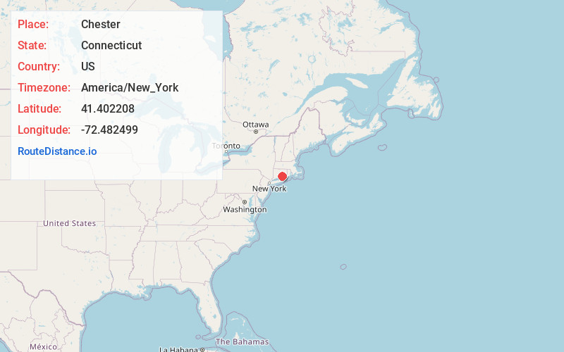
Full AddressChester, CT
-
Coordinates41.4022081, -72.4824991
-
LocationChester , Connecticut , US
-
TimezoneAmerica/New_York
-
Current Local Time12:06:50 PM America/New_YorkMonday, June 23, 2025
-
Website
-
Page Views0
About Chester
Chester is a town in Middlesex County, Connecticut, United States. The town is part of the Lower Connecticut River Valley Planning Region. The population was 3,749 at the 2020 census. The town center is defined by the U.S. Census Bureau as a census-designated place. The name is a transfer from Chester, in England.


Nearby Places
Found 10 places within 50 miles

Deep River
2.7 mi
4.3 km
Deep River, CT
Get directions

Crystal Lake
11.4 mi
18.3 km
Crystal Lake, Middletown, CT 06457
Get directions

Guilford
13.1 mi
21.1 km
Guilford, CT
Get directions

Middletown
14.1 mi
22.7 km
Middletown, CT 06457
Get directions

Meriden
19.3 mi
31.1 km
Meriden, CT
Get directions

New London
20.1 mi
32.3 km
New London, CT
Get directions

Salmon Brook
22.6 mi
36.4 km
Salmon Brook, Glastonbury, CT 06033
Get directions

Norwich
22.7 mi
36.5 km
Norwich, CT
Get directions

Cheshire
23.4 mi
37.7 km
Cheshire, CT
Get directions

Southold
23.5 mi
37.8 km
Southold, NY 11971
Get directions
Location Links
Local Weather
Weather Information
Coming soon!
Location Map
Static map view of Chester, Connecticut
Browse Places by Distance
Places within specific distances from Chester
Short Distances
Long Distances
Click any distance to see all places within that range from Chester. Distances shown in miles (1 mile ≈ 1.61 kilometers).