Distance to Chestertown, New York

Calculating Your Route
Just a moment while we process your request...
Location Information
-
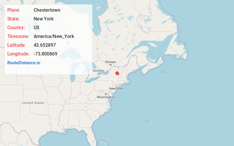
Full AddressChestertown, NY 12817
-
Coordinates43.6528972, -73.8008686
-
LocationChestertown , New York , US
-
TimezoneAmerica/New_York
-
Current Local Time9:53:55 PM America/New_YorkThursday, June 19, 2025
-
Page Views0
About Chestertown
Chestertown is a hamlet of the town of Chester, in Warren County, New York, United States. It is located by the junction of Route 8 and U.S. Route 9, in the Adirondack Mountains. The population was 586 at the 2020 census, which lists the community as a census-designated place.


Nearby Places
Found 10 places within 50 miles

Horicon
6.5 mi
10.5 km
Horicon, NY
Get directions

Johnsburg
8.4 mi
13.5 km
Johnsburg, NY 12853
Get directions

Thurman
10.1 mi
16.3 km
Thurman, NY 12810
Get directions

Warrensburg
10.9 mi
17.5 km
Warrensburg, NY
Get directions

Schroon Lake
13.0 mi
20.9 km
Schroon Lake, NY 12870
Get directions

Minerva
13.3 mi
21.4 km
Minerva, NY 12851
Get directions

Lake George
16.3 mi
26.2 km
Lake George, NY 12845
Get directions

Stony Creek
17.1 mi
27.5 km
Stony Creek, NY 12878
Get directions

Whitehall
21.0 mi
33.8 km
Whitehall, NY
Get directions

Queensbury
21.6 mi
34.8 km
Queensbury, NY
Get directions
Location Links
Local Weather
Weather Information
Coming soon!
Location Map
Static map view of Chestertown, New York
Browse Places by Distance
Places within specific distances from Chestertown
Short Distances
Long Distances
Click any distance to see all places within that range from Chestertown. Distances shown in miles (1 mile ≈ 1.61 kilometers).