Distance to Chestnut Grove, North Carolina

Calculating Your Route
Just a moment while we process your request...
Location Information
-
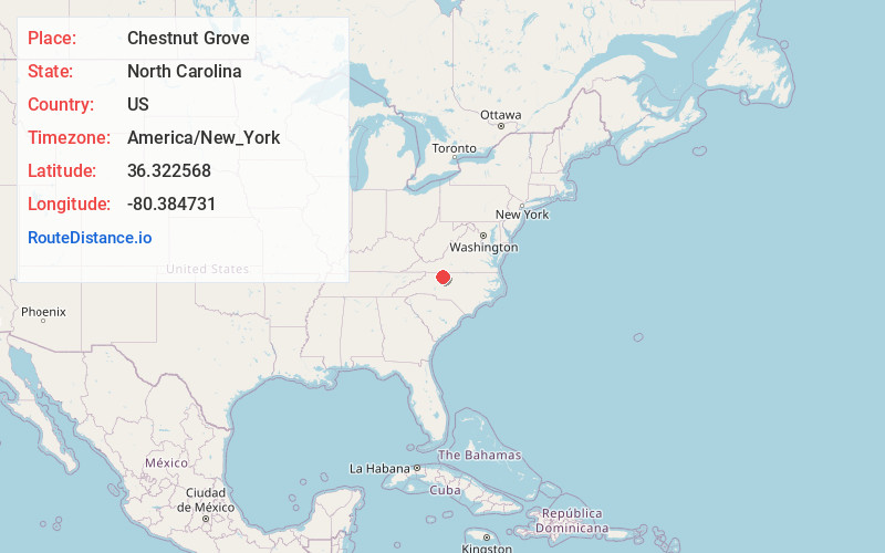
Full AddressChestnut Grove, NC 27021
-
Coordinates36.3225681, -80.3847313
-
LocationNorth Carolina , US
-
TimezoneAmerica/New_York
-
Current Local Time1:22:11 PM America/New_YorkTuesday, June 24, 2025
-
Page Views0
About Chestnut Grove
Chestnut Grove is an unincorporated community in Stokes County, North Carolina, United States, approximately three miles north-northwest of King.
Nearby Places
Found 10 places within 50 miles

Dalton
1.3 mi
2.1 km
Dalton, NC 27043
Get directions

Pinnacle
2.7 mi
4.3 km
Pinnacle, NC 27043
Get directions

King
3.2 mi
5.1 km
King, NC
Get directions

Tobaccoville
5.9 mi
9.5 km
Tobaccoville, NC
Get directions

Quaker Gap
5.9 mi
9.5 km
Quaker Gap, NC 27021
Get directions

Pilot Mountain
6.5 mi
10.5 km
Pilot Mountain, NC 27041
Get directions
Donnaha
7.1 mi
11.4 km
Donnaha, NC 27050
Get directions

Rural Hall
7.6 mi
12.2 km
Rural Hall, NC
Get directions
Shoals
7.8 mi
12.6 km
Shoals, NC 27043
Get directions

Germanton
9.5 mi
15.3 km
Germanton, NC
Get directions
Location Links
Local Weather
Weather Information
Coming soon!
Location Map
Static map view of Chestnut Grove, North Carolina
Browse Places by Distance
Places within specific distances from Chestnut Grove
Short Distances
Long Distances
Click any distance to see all places within that range from Chestnut Grove. Distances shown in miles (1 mile ≈ 1.61 kilometers).