Distance to Chestnut Grove, Kentucky

Calculating Your Route
Just a moment while we process your request...
Location Information
-
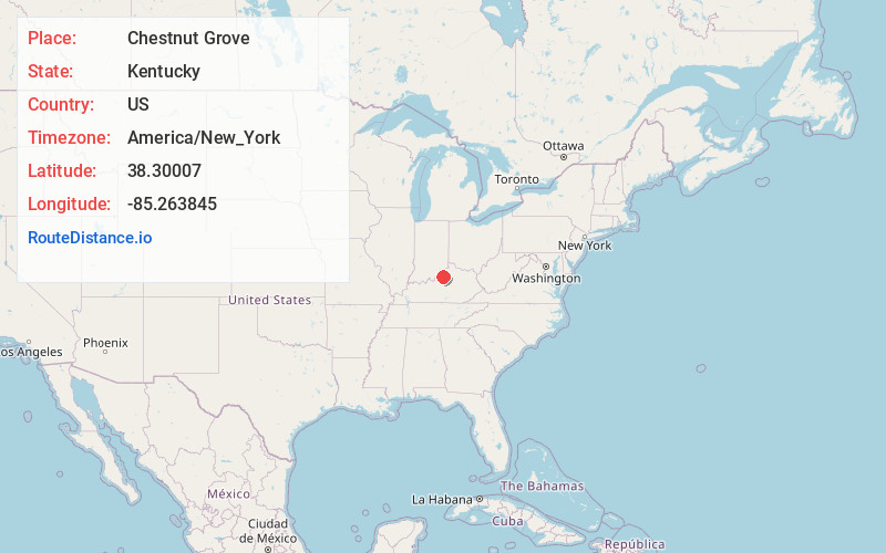
Full AddressChestnut Grove, KY 40065
-
Coordinates38.3000696, -85.2638452
-
LocationKentucky , US
-
TimezoneAmerica/New_York
-
Current Local Time2:26:18 PM America/New_YorkFriday, June 6, 2025
-
Page Views0
About Chestnut Grove
Chestnut Grove is an unincorporated community within Shelby County, Kentucky, United States. It was also known as Gleneyrie. Their post office has been closed.
Nearby Places
Found 10 places within 50 miles

Raymond Hill
0.6 mi
1.0 km
Raymond Hill, KY 40065
Get directions
Todds Point
4.6 mi
7.4 km
Todds Point, KY 40067
Get directions

Smithfield
6.0 mi
9.7 km
Smithfield, KY 40068
Get directions
Joyes
6.4 mi
10.3 km
Joyes, KY 40065
Get directions

Shelbyville
6.6 mi
10.6 km
Shelbyville, KY 40065
Get directions

Eminence
6.6 mi
10.6 km
Eminence, KY 40019
Get directions

Simpsonville
7.0 mi
11.3 km
Simpsonville, KY 40067
Get directions
Veachland
7.1 mi
11.4 km
Veachland, KY 40065
Get directions

Jericho
7.4 mi
11.9 km
Jericho, KY 40068
Get directions
Mulberry
7.4 mi
11.9 km
Mulberry, KY 40065
Get directions
Location Links
Local Weather
Weather Information
Coming soon!
Location Map
Static map view of Chestnut Grove, Kentucky
Browse Places by Distance
Places within specific distances from Chestnut Grove
Short Distances
Long Distances
Click any distance to see all places within that range from Chestnut Grove. Distances shown in miles (1 mile ≈ 1.61 kilometers).