Distance to Chewacla, Alabama

Calculating Your Route
Just a moment while we process your request...
Location Information
-
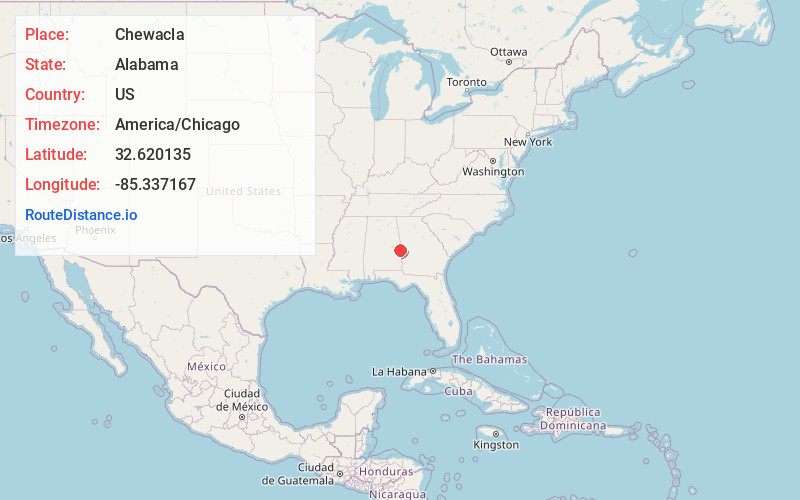
Full AddressChewacla, Opelika, AL 36804
-
Coordinates32.6201348, -85.3371669
-
LocationOpelika , Alabama , US
-
TimezoneAmerica/Chicago
-
Current Local Time5:47:50 PM America/ChicagoWednesday, June 18, 2025
-
Page Views0
About Chewacla
Chewacla, choo-ahk-lə also known as Yongesborough yawn-guus-baw-raw, is an unincorporated community in the northeast corner of Lee County, Alabama, United States.
Nearby Places
Found 10 places within 50 miles

Opelika
3.0 mi
4.8 km
Opelika, AL
Get directions

Parkers Crossroads
4.1 mi
6.6 km
Parkers Crossroads, AL 36804
Get directions
Salem
6.0 mi
9.7 km
Salem, AL 36874
Get directions
Mt Jefferson
6.5 mi
10.5 km
Mt Jefferson, Opelika, AL 36801
Get directions

Beans Mill
6.7 mi
10.8 km
Beans Mill, AL 36852
Get directions
North Auburn
7.0 mi
11.3 km
North Auburn, Opelika, AL 36830
Get directions
Griffen Mill
7.7 mi
12.4 km
Griffen Mill, AL 36874
Get directions

Auburn
8.3 mi
13.4 km
Auburn, AL
Get directions
Whatley Cross Rd
8.7 mi
14.0 km
Whatley Cross Rd, AL 36804
Get directions
Shotwell
9.3 mi
15.0 km
Shotwell, AL 36874
Get directions
Location Links
Local Weather
Weather Information
Coming soon!
Location Map
Static map view of Chewacla, Alabama
Browse Places by Distance
Places within specific distances from Chewacla
Short Distances
Long Distances
Click any distance to see all places within that range from Chewacla. Distances shown in miles (1 mile ≈ 1.61 kilometers).