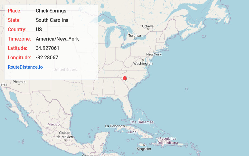
Distance to Chick Springs, South Carolina

Calculating Your Route
Just a moment while we process your request...
Location Information
-
Full AddressChick Springs, Taylors, SC 29687
-
Coordinates34.927061, -82.2806704
-
LocationTaylors , South Carolina , US
-
TimezoneAmerica/New_York
-
Current Local Time10:07:49 PM America/New_YorkSaturday, June 28, 2025
-
Page Views0
About Chick Springs
Chick Springs is a mineral springs in present-day Taylors, Greenville County, South Carolina, which from the mid-nineteenth to the early twentieth century served as the focus of a small Upstate South Carolina resort community.
Nearby Places
Found 10 places within 50 miles

Taylors
1.0 mi
1.6 km
Taylors, SC
Get directions

Greer
3.1 mi
5.0 km
Greer, SC
Get directions

Wade Hampton
3.4 mi
5.5 km
Wade Hampton, SC
Get directions

Cherokee Forest
3.5 mi
5.6 km
Cherokee Forest, Wade Hampton, SC 29687
Get directions

Crestview Hills
4.6 mi
7.4 km
Crestview Hills, SC 29651
Get directions
Dellwood
5.7 mi
9.2 km
Dellwood, Greenville, SC 29607
Get directions
Pelham
5.8 mi
9.3 km
Pelham, SC 29651
Get directions
Sandy Flat
5.9 mi
9.5 km
Sandy Flat, SC 29687
Get directions
Little Texas
7.3 mi
11.7 km
Little Texas, SC 29690
Get directions
Leawood
7.4 mi
11.9 km
Leawood, SC 29609
Get directions
Location Links
Local Weather
Weather Information
Coming soon!
Location Map
Static map view of Chick Springs, South Carolina
Browse Places by Distance
Places within specific distances from Chick Springs
Short Distances
Long Distances
Click any distance to see all places within that range from Chick Springs. Distances shown in miles (1 mile ≈ 1.61 kilometers).