Distance to Chief Lake, Wisconsin

Calculating Your Route
Just a moment while we process your request...
Location Information
-
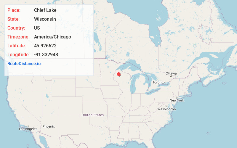
Full AddressChief Lake, WI
-
Coordinates45.9266223, -91.3329478
-
LocationChief Lake , Wisconsin , US
-
TimezoneAmerica/Chicago
-
Current Local Time12:17:16 AM America/ChicagoFriday, June 20, 2025
-
Page Views0
About Chief Lake
Chief Lake is a census-designated place in the town of Hayward, Sawyer County, Wisconsin, United States. The population was 583 at the 2010 census.

Nearby Places
Found 10 places within 50 miles

Little Round Lake
3.4 mi
5.5 km
Little Round Lake, WI 54843
Get directions

Hayward
9.4 mi
15.1 km
Hayward, WI 54843
Get directions

Spooner
27.7 mi
44.6 km
Spooner, WI 54801
Get directions

Shell Lake
31.3 mi
50.4 km
Shell Lake, WI 54871
Get directions

Bruce
32.6 mi
52.5 km
Bruce, WI 54819
Get directions

Ladysmith
33.9 mi
54.6 km
Ladysmith, WI 54848
Get directions

Rice Lake
35.0 mi
56.3 km
Rice Lake, WI
Get directions

Solon Springs
37.7 mi
60.7 km
Solon Springs, WI 54873
Get directions

Cameron
40.9 mi
65.8 km
Cameron, WI 54822
Get directions

Park Falls
42.8 mi
68.9 km
Park Falls, WI 54552
Get directions
Location Links
Local Weather
Weather Information
Coming soon!
Location Map
Static map view of Chief Lake, Wisconsin
Browse Places by Distance
Places within specific distances from Chief Lake
Short Distances
Long Distances
Click any distance to see all places within that range from Chief Lake. Distances shown in miles (1 mile ≈ 1.61 kilometers).