Distance to Chiloquin, Oregon

Calculating Your Route
Just a moment while we process your request...
Location Information
-
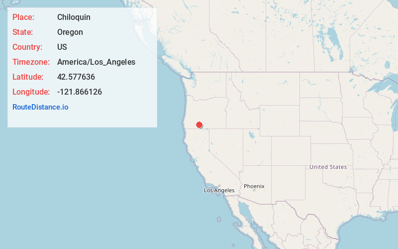
Full AddressChiloquin, OR 97624
-
Coordinates42.5776364, -121.8661258
-
LocationChiloquin , Oregon , US
-
TimezoneAmerica/Los_Angeles
-
Current Local Time7:40:32 AM America/Los_AngelesWednesday, June 18, 2025
-
Website
-
Page Views0
About Chiloquin
Chiloquin is a city in Klamath County, Oregon, United States. Chiloquin was the pioneer version of a Klamath family name Chaloquin, which was the name of a Klamath chief who was alive at the time of the treaty of 1864.


Nearby Places
Found 10 places within 50 miles

Klamath Falls
24.8 mi
39.9 km
Klamath Falls, OR
Get directions

Altamont
26.5 mi
42.6 km
Altamont, OR 97603
Get directions
Falcon Heights
31.4 mi
50.5 km
Falcon Heights, OR 97603
Get directions

Keno
31.4 mi
50.5 km
Keno, OR
Get directions

Merrill
40.5 mi
65.2 km
Merrill, OR
Get directions

Dorris
42.3 mi
68.1 km
Dorris, CA 96023
Get directions

Malin
45.5 mi
73.2 km
Malin, OR 97632
Get directions

Tulelake
47.3 mi
76.1 km
Tulelake, CA 96134
Get directions

Shady Cove
48.2 mi
77.6 km
Shady Cove, OR 97539
Get directions

Eagle Point
48.2 mi
77.6 km
Eagle Point, OR 97524
Get directions
Location Links
Local Weather
Weather Information
Coming soon!
Location Map
Static map view of Chiloquin, Oregon
Browse Places by Distance
Places within specific distances from Chiloquin
Short Distances
Long Distances
Click any distance to see all places within that range from Chiloquin. Distances shown in miles (1 mile ≈ 1.61 kilometers).