Distance to Chloe, West Virginia

Calculating Your Route
Just a moment while we process your request...
Location Information
-
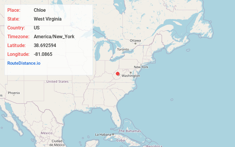
Full AddressChloe, WV 25268
-
Coordinates38.6925935, -81.0865004
-
LocationChloe , West Virginia , US
-
TimezoneAmerica/New_York
-
Current Local Time6:30:27 PM America/New_YorkWednesday, June 4, 2025
-
Page Views0
About Chloe
Chloe is an unincorporated community in Calhoun County, West Virginia, United States. It lies along West Virginia Route 16 and the West Fork Little Kanawha River, to the south of the towns of Grantsville and Arnoldsburg. Its elevation is 794 feet. It has a post office with the ZIP code 25235.

Nearby Places
Found 10 places within 50 miles

Euclid
3.6 mi
5.8 km
Euclid, WV 25268
Get directions
Oka
3.7 mi
6.0 km
Oka, WV 25235
Get directions
Mudfork
3.7 mi
6.0 km
Mudfork, WV 25235
Get directions
Nicut
3.8 mi
6.1 km
Nicut, WV 26636
Get directions
Lydia
3.9 mi
6.3 km
Lydia, WV 25235
Get directions
Orma
3.9 mi
6.3 km
Orma, WV 25268
Get directions
Nebo
4.7 mi
7.6 km
Nebo, WV 25141
Get directions
Gip
5.1 mi
8.2 km
Gip, WV 26636
Get directions
Elana
5.3 mi
8.5 km
Elana, WV 25266
Get directions
Elmira
5.9 mi
9.5 km
Elmira, WV 25235
Get directions
Location Links
Local Weather
Weather Information
Coming soon!
Location Map
Static map view of Chloe, West Virginia
Browse Places by Distance
Places within specific distances from Chloe
Short Distances
Long Distances
Click any distance to see all places within that range from Chloe. Distances shown in miles (1 mile ≈ 1.61 kilometers).