Distance to Choctaw, Oklahoma

Calculating Your Route
Just a moment while we process your request...
Location Information
-
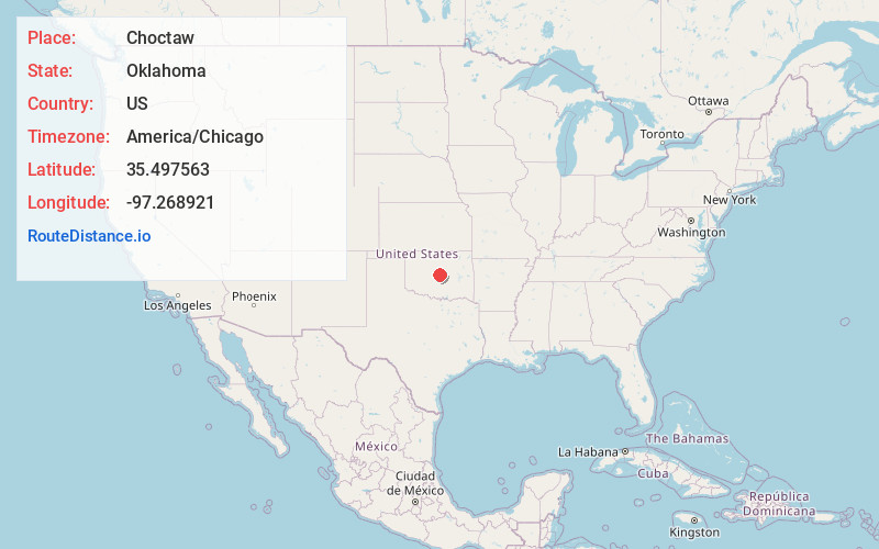
Full AddressChoctaw, OK 73020
-
Coordinates35.4975625, -97.2689212
-
LocationChoctaw , Oklahoma , US
-
TimezoneAmerica/Chicago
-
Current Local Time2:32:16 AM America/ChicagoSaturday, June 7, 2025
-
Page Views0
About Choctaw
Choctaw is a city in Oklahoma County, Oklahoma, United States, with a population of 12,182 at the 2020 census, a 9.3% increase from 2010. It is the oldest chartered town in Oklahoma Territory. The city is located approximately 10 miles east of Oklahoma City and is part of the Oklahoma City metropolitan area.


Nearby Places
Found 10 places within 50 miles

Midwest City
7.9 mi
12.7 km
Midwest City, OK
Get directions

Del City
10.4 mi
16.7 km
Del City, OK
Get directions

Oklahoma City
14.2 mi
22.9 km
Oklahoma City, OK
Get directions

Edmond
15.9 mi
25.6 km
Edmond, OK
Get directions

Moore
16.4 mi
26.4 km
Moore, OK
Get directions

Norman
21.5 mi
34.6 km
Norman, OK
Get directions

Shawnee
22.6 mi
36.4 km
Shawnee, OK
Get directions

Newcastle
25.4 mi
40.9 km
Newcastle, OK
Get directions

Yukon
27.8 mi
44.7 km
Yukon, OK
Get directions

El Reno
38.7 mi
62.3 km
El Reno, OK
Get directions
Location Links
Local Weather
Weather Information
Coming soon!
Location Map
Static map view of Choctaw, Oklahoma
Browse Places by Distance
Places within specific distances from Choctaw
Short Distances
Long Distances
Click any distance to see all places within that range from Choctaw. Distances shown in miles (1 mile ≈ 1.61 kilometers).