Distance to Chowchilla, California

Calculating Your Route
Just a moment while we process your request...
Location Information
-
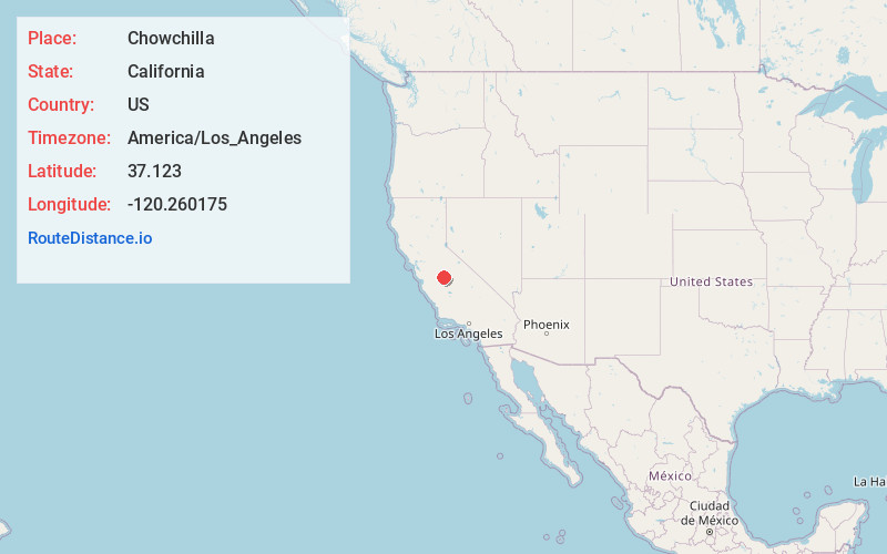
Full AddressChowchilla, CA 93610
-
Coordinates37.1229997, -120.2601754
-
LocationChowchilla , California , US
-
TimezoneAmerica/Los_Angeles
-
Current Local Time6:04:35 AM America/Los_AngelesMonday, June 23, 2025
-
Page Views0
About Chowchilla
Chowchilla is a city in Madera County, California, United States. The city's population was 19,039 at the 2020 census. Chowchilla is located 16 miles northwest of Madera, at an elevation of 240 feet.
The city is the location of two prisons: Central California Women's Facility and Valley State Prison.


Nearby Places
Found 8 places within 50 miles

Madera
15.7 mi
25.3 km
Madera, CA
Get directions

Merced
17.4 mi
28.0 km
Merced, CA
Get directions

Atwater
24.7 mi
39.8 km
Atwater, CA 95301
Get directions

Los Banos
32.8 mi
52.8 km
Los Banos, CA
Get directions

Clovis
37.0 mi
59.5 km
Clovis, CA
Get directions

Fresno
37.3 mi
60.0 km
Fresno, CA
Get directions

Turlock
41.2 mi
66.3 km
Turlock, CA
Get directions

Sanger
48.3 mi
77.7 km
Sanger, CA
Get directions
Location Links
Local Weather
Weather Information
Coming soon!
Location Map
Static map view of Chowchilla, California
Browse Places by Distance
Places within specific distances from Chowchilla
Short Distances
Long Distances
Click any distance to see all places within that range from Chowchilla. Distances shown in miles (1 mile ≈ 1.61 kilometers).