Distance to Christian Springs, Pennsylvania

Calculating Your Route
Just a moment while we process your request...
Location Information
-
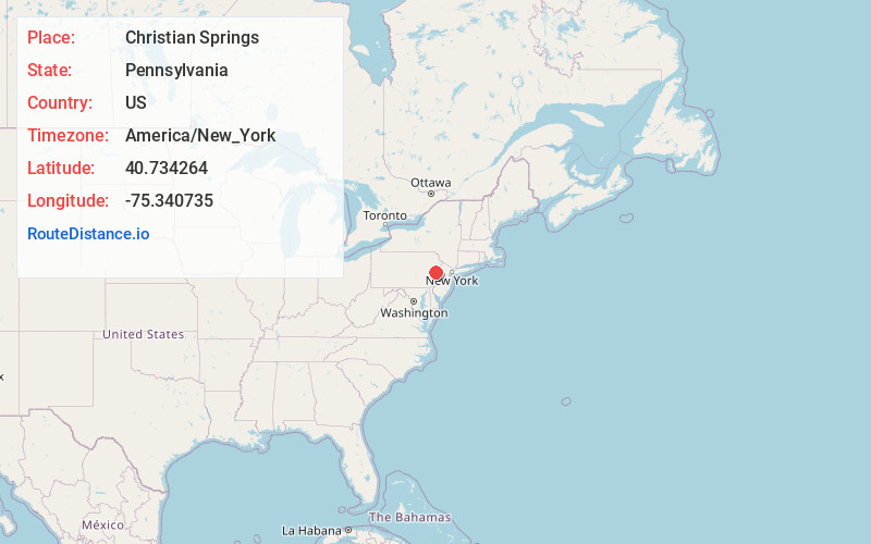
Full AddressChristian Springs, Upper Nazareth Township, PA 18064
-
Coordinates40.7342637, -75.3407354
-
LocationUpper Nazareth Township , Pennsylvania , US
-
TimezoneAmerica/New_York
-
Current Local Time5:36:44 PM America/New_YorkTuesday, May 20, 2025
-
Page Views0
About Christian Springs
Christian Springs is an unincorporated community in Upper Nazareth Township, Pennsylvania. It is located between the boroughs of Bath and Narareth at the junction of Pennsylvania State Routes 248 and 946.
Nearby Places
Found 10 places within 50 miles

Upper Nazareth Township
0.6 mi
1.0 km
Upper Nazareth Township, PA
Get directions
Gracedale Open Space
1.1 mi
1.8 km
Gracedale Open Space, Nazareth, PA 18064
Get directions

Nazareth
1.7 mi
2.7 km
Nazareth, PA 18064
Get directions
Hollo
2.5 mi
4.0 km
Hollo, Lower Nazareth Township, PA 18045
Get directions
Lower Nazareth Township
2.6 mi
4.2 km
Lower Nazareth Township, PA
Get directions
Eastlawn Gardens
2.6 mi
4.2 km
Eastlawn Gardens, PA
Get directions
East Lawn
2.7 mi
4.3 km
East Lawn, Eastlawn Gardens, PA 18064
Get directions

Bath
2.9 mi
4.7 km
Bath, PA 18014
Get directions
Hecktown
2.9 mi
4.7 km
Hecktown, Lower Nazareth Township, PA 18020
Get directions
Steuben
3.2 mi
5.1 km
Steuben, Lower Nazareth Township, PA 18064
Get directions
Location Links
Local Weather
Weather Information
Coming soon!
Location Map
Static map view of Christian Springs, Pennsylvania
Browse Places by Distance
Places within specific distances from Christian Springs
Short Distances
Long Distances
Click any distance to see all places within that range from Christian Springs. Distances shown in miles (1 mile ≈ 1.61 kilometers).