Distance to Chugwater, Wyoming

Calculating Your Route
Just a moment while we process your request...
Location Information
-
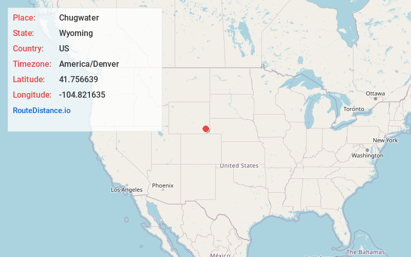
Full AddressChugwater, WY 82210
-
Coordinates41.7566391, -104.8216351
-
LocationChugwater , Wyoming , US
-
TimezoneAmerica/Denver
-
Current Local Time9:39:52 PM America/DenverWednesday, June 4, 2025
-
Page Views0
About Chugwater
Chugwater is a town in Platte County, Wyoming, United States. As of the 2020 census, the town population was 175. The High Plains town is located 45 miles north of Cheyenne and 25 miles south of Wheatland.


Nearby Places
Found 10 places within 50 miles

Y-O Ranch
19.9 mi
32.0 km
Y-O Ranch, WY 82201
Get directions

Wheatland
21.7 mi
34.9 km
Wheatland, WY 82201
Get directions
La Grange
34.9 mi
56.2 km
La Grange, WY 82221
Get directions

Guernsey
35.7 mi
57.5 km
Guernsey, WY
Get directions

Lingle
35.9 mi
57.8 km
Lingle, WY 82223
Get directions

Ranchettes
37.2 mi
59.9 km
Ranchettes, WY 82009
Get directions

Torrington
39.0 mi
62.8 km
Torrington, WY 82240
Get directions

Lyman
41.8 mi
67.3 km
Lyman, NE 69352
Get directions

Cheyenne
43.0 mi
69.2 km
Cheyenne, WY
Get directions

Fox Farm-College
44.3 mi
71.3 km
Fox Farm-College, WY
Get directions
Location Links
Local Weather
Weather Information
Coming soon!
Location Map
Static map view of Chugwater, Wyoming
Browse Places by Distance
Places within specific distances from Chugwater
Short Distances
Long Distances
Click any distance to see all places within that range from Chugwater. Distances shown in miles (1 mile ≈ 1.61 kilometers).