Distance to Church Run, Virginia

Calculating Your Route
Just a moment while we process your request...
Location Information
-
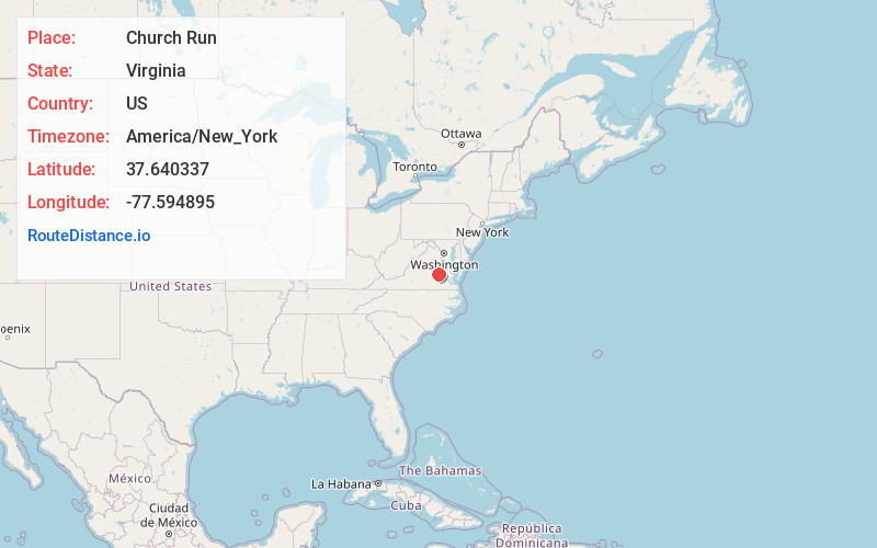
Full AddressChurch Run, VA 23233
-
Coordinates37.6403374, -77.5948946
-
NeighborhoodChurch Run
-
LocationChurch Run , Virginia , US
-
TimezoneAmerica/New_York
-
Current Local Time5:27:14 PM America/New_YorkTuesday, June 3, 2025
-
Page Views0
About Church Run
Church Run is a residential neighborhood in Henrico County, Virginia, that was built at the beginning of the 1990s. Church Run can be accessed by two entry points: one entry point is off of Church Road, and one is off of Three Chopt Road, between Cox Road and John Rolfe Pkwy.
Nearby Places
Found 10 places within 50 miles

Innsbrook
2.1 mi
3.4 km
Innsbrook, VA
Get directions

Gayton
2.3 mi
3.7 km
Gayton, VA 23238
Get directions

Short Pump
2.5 mi
4.0 km
Short Pump, VA
Get directions

Chickahominy River
3.7 mi
6.0 km
Chickahominy River, Virginia
Get directions
Sweet Briar Park
3.7 mi
6.0 km
Sweet Briar Park, VA 23294
Get directions
Drouin Hill
4.0 mi
6.4 km
Drouin Hill, Tuckahoe, VA 23238
Get directions
Tuckahoe
4.1 mi
6.6 km
Tuckahoe, VA
Get directions

Wyndham
4.1 mi
6.6 km
Wyndham, VA 23059
Get directions
Dorset Woods
4.4 mi
7.1 km
Dorset Woods, Tuckahoe, VA 23229
Get directions
Glenbrook Hills
4.5 mi
7.2 km
Glenbrook Hills, Tuckahoe, VA 23229
Get directions
Location Links
Local Weather
Weather Information
Coming soon!
Location Map
Static map view of Church Run, Virginia
Browse Places by Distance
Places within specific distances from Church Run
Short Distances
Long Distances
Click any distance to see all places within that range from Church Run. Distances shown in miles (1 mile ≈ 1.61 kilometers).