Distance to Cifax, Virginia

Calculating Your Route
Just a moment while we process your request...
Location Information
-
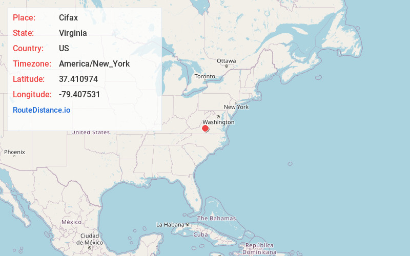
Full AddressCifax, VA 24556
-
Coordinates37.4109737, -79.4075309
-
LocationVirginia , US
-
TimezoneAmerica/New_York
-
Current Local Time12:58:26 AM America/New_YorkSunday, June 22, 2025
-
Page Views0
About Cifax
Cifax is an unincorporated community in Bedford County, Virginia, United States. Cifax is located at the junction of State Routes 643 and 644, 8.3 miles northeast of Bedford.
The Cifax Rural Historic District, which includes Cifax and the surrounding area, is listed on the National Register of Historic Places.
Nearby Places
Found 10 places within 50 miles

Perrowville
3.2 mi
5.1 km
Perrowville, VA 24551
Get directions

Goode
3.7 mi
6.0 km
Goode, VA 24556
Get directions
Charlemont
3.9 mi
6.3 km
Charlemont, VA 24526
Get directions
Otterville
4.5 mi
7.2 km
Otterville, VA 24523
Get directions
Coltons Mill
4.7 mi
7.6 km
Coltons Mill, VA 24523
Get directions
Coffee
5.6 mi
9.0 km
Coffee, VA 24503
Get directions
Curtis
6.2 mi
10.0 km
Curtis, VA 24523
Get directions

Forest
7.2 mi
11.6 km
Forest, VA
Get directions
Peaksville
7.6 mi
12.2 km
Peaksville, VA 24523
Get directions
Kelso Mill
8.2 mi
13.2 km
Kelso Mill, VA 24523
Get directions
Location Links
Local Weather
Weather Information
Coming soon!
Location Map
Static map view of Cifax, Virginia
Browse Places by Distance
Places within specific distances from Cifax
Short Distances
Long Distances
Click any distance to see all places within that range from Cifax. Distances shown in miles (1 mile ≈ 1.61 kilometers).