Distance to Clancy, Montana

Calculating Your Route
Just a moment while we process your request...
Location Information
-
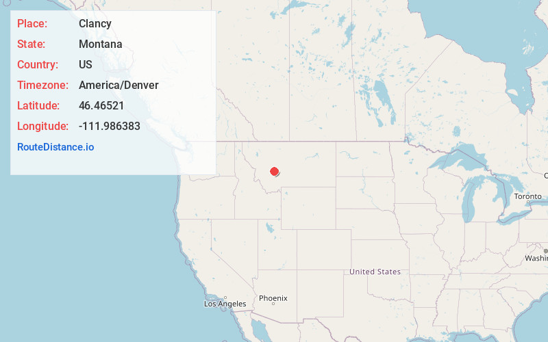
Full AddressClancy, MT 59634
-
Coordinates46.4652096, -111.9863826
-
LocationClancy , Montana , US
-
TimezoneAmerica/Denver
-
Current Local Time3:28:23 PM America/DenverWednesday, June 18, 2025
-
Page Views0
About Clancy
Clancy is an unincorporated community and census-designated place in Jefferson County, Montana, United States. The population was 1,661 at the 2010 census, up from 1,406 in 2000. It is part of the Helena Micropolitan Statistical Area.


Nearby Places
Found 6 places within 50 miles

Montana City
5.6 mi
9.0 km
Montana City, MT
Get directions

Helena
8.9 mi
14.3 km
Helena, MT
Get directions

Helena Valley West Central
14.1 mi
22.7 km
Helena Valley West Central, MT 59602
Get directions

Townsend
24.4 mi
39.3 km
Townsend, MT 59644
Get directions

Deer Lodge
36.1 mi
58.1 km
Deer Lodge, MT 59722
Get directions

Butte
41.3 mi
66.5 km
Butte, MT
Get directions
Location Links
Local Weather
Weather Information
Coming soon!
Location Map
Static map view of Clancy, Montana
Browse Places by Distance
Places within specific distances from Clancy
Short Distances
Long Distances
Click any distance to see all places within that range from Clancy. Distances shown in miles (1 mile ≈ 1.61 kilometers).