Distance to Clarence Township, Michigan

Calculating Your Route
Just a moment while we process your request...
Location Information
-
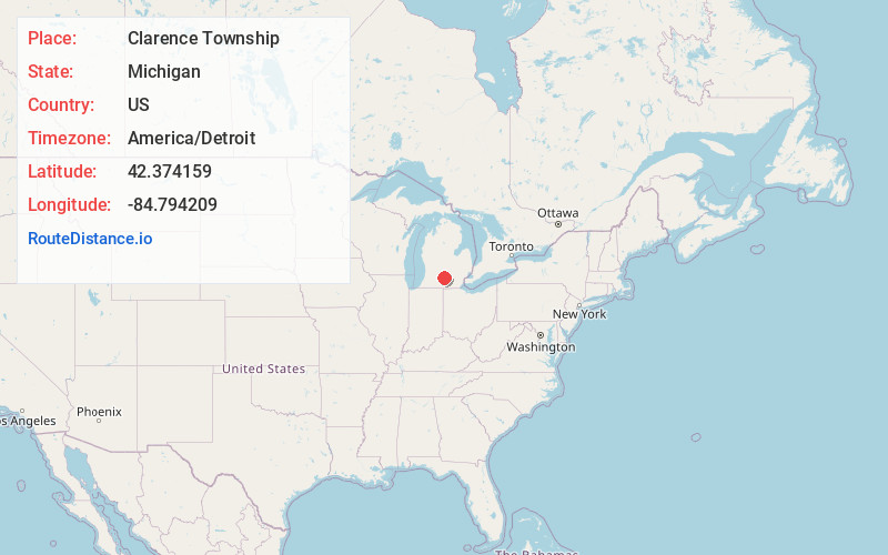
Full AddressClarence Township, MI
-
Coordinates42.3741594, -84.7942091
-
LocationClarence Township , Michigan , US
-
TimezoneAmerica/Detroit
-
Current Local Time3:09:31 AM America/DetroitSunday, June 1, 2025
-
Page Views0
About Clarence Township
Clarence Township is a civil township located in northeast Calhoun County in the U.S. state of Michigan. It is part of the Battle Creek, Michigan Metropolitan Statistical Area. The population was 1,903 at the 2020 census. The township was originally named Pinkney Township.

Nearby Places
Found 10 places within 50 miles

Clarence Center
1.4 mi
2.3 km
Clarence Center, Clarence Township, MI 49224
Get directions

Duck Lake
1.9 mi
3.1 km
Duck Lake, MI 49284
Get directions
Partello
3.4 mi
5.5 km
Partello, Lee Township, MI 49076
Get directions
Lee Township
4.3 mi
6.9 km
Lee Township, MI
Get directions

Springport
4.9 mi
7.9 km
Springport, MI 49284
Get directions
Brookfield
5.3 mi
8.5 km
Brookfield, MI 48813
Get directions
Lee Center
5.3 mi
8.5 km
Lee Center, Lee Township, MI 49076
Get directions
Devereaux
5.8 mi
9.3 km
Devereaux, Parma Township, MI 49224
Get directions
Charlesworth
7.5 mi
12.1 km
Charlesworth, Hamlin Township, MI 48827
Get directions

Marengo
7.6 mi
12.2 km
Marengo, MI 49224
Get directions
Location Links
Local Weather
Weather Information
Coming soon!
Location Map
Static map view of Clarence Township, Michigan
Browse Places by Distance
Places within specific distances from Clarence Township
Short Distances
Long Distances
Click any distance to see all places within that range from Clarence Township. Distances shown in miles (1 mile ≈ 1.61 kilometers).