Distance to Clarendon, Arkansas

Calculating Your Route
Just a moment while we process your request...
Location Information
-
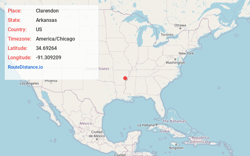
Full AddressClarendon, AR
-
Coordinates34.6926398, -91.3092086
-
LocationClarendon , Arkansas , US
-
TimezoneAmerica/Chicago
-
Current Local Time7:11:01 PM America/ChicagoWednesday, June 18, 2025
-
Page Views0
About Clarendon
Clarendon is a city in, and the county seat of, Monroe County, Arkansas, United States. Located in the Arkansas Delta, the city's position on the White River at the mouth of the Cache River has defined the community since first incorporating in 1859.


Nearby Places
Found 10 places within 50 miles

Brinkley
14.9 mi
24.0 km
Brinkley, AR 72021
Get directions

Hazen
16.6 mi
26.7 km
Hazen, AR
Get directions

Stuttgart
19.7 mi
31.7 km
Stuttgart, AR 72160
Get directions

Carlisle
25.6 mi
41.2 km
Carlisle, AR 72024
Get directions

DeWitt
27.6 mi
44.4 km
DeWitt, AR 72042
Get directions

Marianna
31.0 mi
49.9 km
Marianna, AR 72360
Get directions

Lonoke
34.1 mi
54.9 km
Lonoke, AR 72086
Get directions

Forrest City
36.9 mi
59.4 km
Forrest City, AR
Get directions

England
38.9 mi
62.6 km
England, AR 72046
Get directions

McCrory
39.5 mi
63.6 km
McCrory, AR 72101
Get directions
Location Links
Local Weather
Weather Information
Coming soon!
Location Map
Static map view of Clarendon, Arkansas
Browse Places by Distance
Places within specific distances from Clarendon
Short Distances
Long Distances
Click any distance to see all places within that range from Clarendon. Distances shown in miles (1 mile ≈ 1.61 kilometers).