Distance to Clark Township, Indiana

Calculating Your Route
Just a moment while we process your request...
Location Information
-
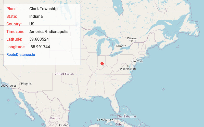
Full AddressClark Township, IN
-
Coordinates39.6035237, -85.9917437
-
LocationClark Township , Indiana , US
-
TimezoneAmerica/Indianapolis
-
Page Views0
About Clark Township
Clark Township is one of nine townships in Johnson County, Indiana. As of the 2010 census, its population was 2,460 and it contained 863 housing units.
Nearby Places
Found 10 places within 50 miles

Rocklane
1.2 mi
1.9 km
Rocklane, Clark Township, IN 46143
Get directions
Brookfield
3.5 mi
5.6 km
Brookfield, Moral Township, IN 46259
Get directions
London Heights
4.5 mi
7.2 km
London Heights, Moral Township, IN 46126
Get directions
Pleasant View
4.9 mi
7.9 km
Pleasant View, IN 46126
Get directions
Sugar Creek Township
4.9 mi
7.9 km
Sugar Creek Township, IN
Get directions
Southeast Manor
4.9 mi
7.9 km
Southeast Manor, Moral Township, IN 46126
Get directions

Boggstown
5.0 mi
8.0 km
Boggstown, IN
Get directions

Needham
5.2 mi
8.4 km
Needham, IN
Get directions

Franklin Township
5.6 mi
9.0 km
Franklin Township, IN
Get directions
Urmeyville
5.6 mi
9.0 km
Urmeyville, IN 46131
Get directions
Location Links
Local Weather
Weather Information
Coming soon!
Location Map
Static map view of Clark Township, Indiana
Browse Places by Distance
Places within specific distances from Clark Township
Short Distances
Long Distances
Click any distance to see all places within that range from Clark Township. Distances shown in miles (1 mile ≈ 1.61 kilometers).