Distance to Clark Township, Minnesota

Calculating Your Route
Just a moment while we process your request...
Location Information
-
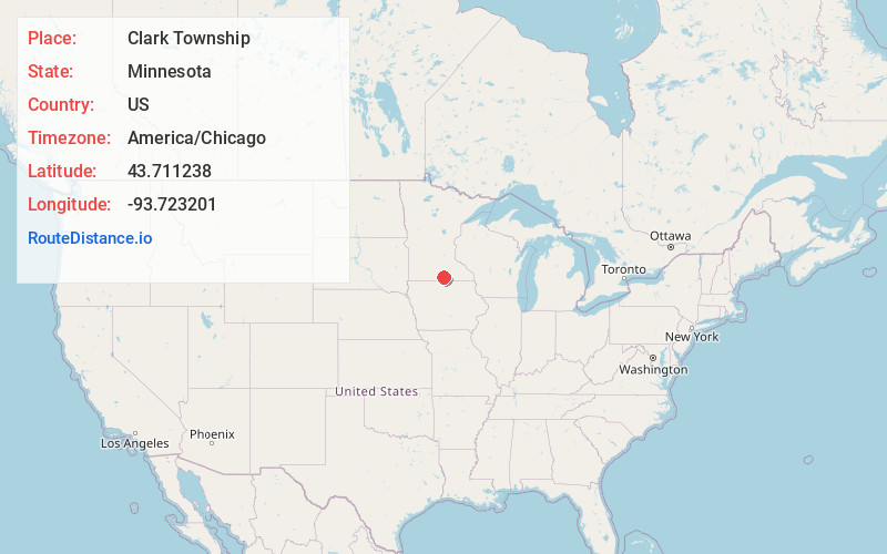
Full AddressClark Township, MN 56097
-
Coordinates43.7112378, -93.7232005
-
LocationClark Township , Minnesota , US
-
TimezoneAmerica/Chicago
-
Current Local Time2:30:55 PM America/ChicagoTuesday, June 24, 2025
-
Page Views0
About Clark Township
Clark Township is a township in Faribault County, Minnesota, United States. The population was 459 at the 2000 census.
Nearby Places
Found 10 places within 50 miles

Wells
2.3 mi
3.7 km
Wells, MN 56097
Get directions

Baroda
2.5 mi
4.0 km
Baroda, Clark Township, MN 56097
Get directions
Foster Township
5.3 mi
8.5 km
Foster Township, MN
Get directions
Walnut Lake Township
6.1 mi
9.8 km
Walnut Lake Township, MN
Get directions

Walters
7.7 mi
12.4 km
Walters, MN 56097
Get directions

Alden
7.9 mi
12.7 km
Alden, MN 56009
Get directions
Brush Creek Township
8.3 mi
13.4 km
Brush Creek Township, MN
Get directions

Freeborn
8.8 mi
14.2 km
Freeborn, MN
Get directions
Easton
9.5 mi
15.3 km
Easton, MN 56025
Get directions
Barber Township
10.2 mi
16.4 km
Barber Township, MN
Get directions
Location Links
Local Weather
Weather Information
Coming soon!
Location Map
Static map view of Clark Township, Minnesota
Browse Places by Distance
Places within specific distances from Clark Township
Short Distances
Long Distances
Click any distance to see all places within that range from Clark Township. Distances shown in miles (1 mile ≈ 1.61 kilometers).