Distance to Clark Township, Missouri

Calculating Your Route
Just a moment while we process your request...
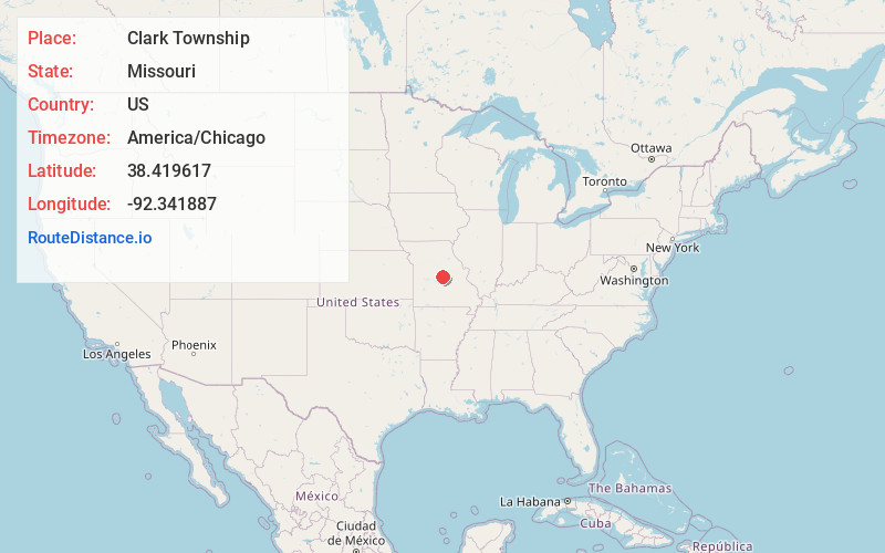
Location Information
-
Full AddressClark Township, MO
-
Coordinates38.4196168, -92.341887
-
LocationClark Township , Missouri , US
-
TimezoneAmerica/Chicago
-
Current Local Time7:38:41 PM America/ChicagoSunday, June 15, 2025
-
Page Views0
About Clark Township
Clark Township is an inactive township in Cole County, in the U.S. state of Missouri.
Clark Township has the name of James Clark, a pioneer citizen.
Nearby Places
Found 10 places within 50 miles

Hickory Hill
1.6 mi
2.6 km
Hickory Hill, MO 65040
Get directions
Scrivner
3.2 mi
5.1 km
Scrivner, Clark Township, MO 65074
Get directions
Decatur
4.8 mi
7.7 km
Decatur, Moreau Township, MO 65074
Get directions
Spring Garden
5.0 mi
8.0 km
Spring Garden, MO 65032
Get directions

Henley
5.3 mi
8.5 km
Henley, MO 65040
Get directions

Eugene
5.7 mi
9.2 km
Eugene, MO 65032
Get directions
Honey Creek
6.2 mi
10.0 km
Honey Creek, MO 65101
Get directions
Payne Ford
6.6 mi
10.6 km
Payne Ford, Moreau Township, MO 65074
Get directions
Hoecker
6.7 mi
10.8 km
Hoecker, Osage Township, MO 65040
Get directions
Osage Bluff
6.9 mi
11.1 km
Osage Bluff, MO 65101
Get directions
Location Links
Local Weather
Weather Information
Coming soon!
Location Map
Static map view of Clark Township, Missouri
Browse Places by Distance
Places within specific distances from Clark Township
Short Distances
Long Distances
Click any distance to see all places within that range from Clark Township. Distances shown in miles (1 mile ≈ 1.61 kilometers).