Distance to Clarkrange, Tennessee

Calculating Your Route
Just a moment while we process your request...
Location Information
-
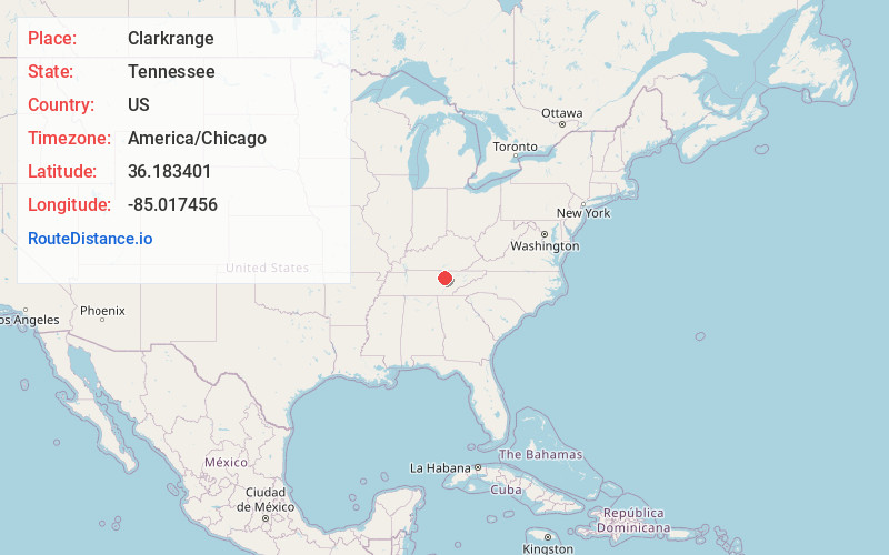
Full AddressClarkrange, TN 38553
-
Coordinates36.1834013, -85.0174564
-
LocationClarkrange , Tennessee , US
-
TimezoneAmerica/Chicago
-
Current Local Time1:21:42 PM America/ChicagoTuesday, July 1, 2025
-
Page Views0
About Clarkrange
Clarkrange is an unincorporated community and census-designated place in Fentress County, Tennessee, United States. It is concentrated around the intersection of U.S. Route 127 and Tennessee State Route 62, in Tennessee's western Cumberland Plateau region. The 2010 census reported the population of Clarkrange as 575.

Nearby Places
Found 10 places within 50 miles

Grimsley
6.1 mi
9.8 km
Grimsley, TN
Get directions

Monterey
14.2 mi
22.9 km
Monterey, TN 38574
Get directions

Fairfield Glade
14.3 mi
23.0 km
Fairfield Glade, TN
Get directions

Allardt
15.5 mi
24.9 km
Allardt, TN
Get directions

Crossville
16.2 mi
26.1 km
Crossville, TN
Get directions

Jamestown
17.5 mi
28.2 km
Jamestown, TN 38556
Get directions

Sunbright
19.7 mi
31.7 km
Sunbright, TN 37872
Get directions

Crab Orchard
20.5 mi
33.0 km
Crab Orchard, TN
Get directions

Lake Tansi
21.6 mi
34.8 km
Lake Tansi, TN 38572
Get directions

Livingston
21.9 mi
35.2 km
Livingston, TN 38570
Get directions
Location Links
Local Weather
Weather Information
Coming soon!
Location Map
Static map view of Clarkrange, Tennessee
Browse Places by Distance
Places within specific distances from Clarkrange
Short Distances
Long Distances
Click any distance to see all places within that range from Clarkrange. Distances shown in miles (1 mile ≈ 1.61 kilometers).