Distance to Clarks Hill, Indiana

Calculating Your Route
Just a moment while we process your request...
Location Information
-
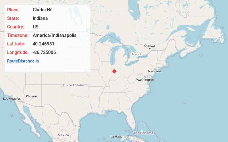
Full AddressClarks Hill, IN 47930
-
Coordinates40.2469805, -86.7250055
-
LocationClarks Hill , Indiana , US
-
TimezoneAmerica/Indianapolis
-
Page Views0
About Clarks Hill
Clarks Hill is a town in Lauramie Township, Tippecanoe County, in the U.S. state of Indiana. The population was 611 at the 2010 census.
It is part of the Lafayette, Indiana Metropolitan Statistical Area.


Nearby Places
Found 10 places within 50 miles

Colfax
4.7 mi
7.6 km
Colfax, IN 46035
Get directions

Mulberry
7.4 mi
11.9 km
Mulberry, IN 46058
Get directions

Dayton
9.1 mi
14.6 km
Dayton, IN
Get directions

Darlington
10.0 mi
16.1 km
Darlington, IN
Get directions

Thorntown
10.2 mi
16.4 km
Thorntown, IN 46071
Get directions

Frankfort
11.5 mi
18.5 km
Frankfort, IN 46041
Get directions

Rossville
13.6 mi
21.9 km
Rossville, IN 46065
Get directions

Lafayette
14.7 mi
23.7 km
Lafayette, IN
Get directions

Shadeland
14.7 mi
23.7 km
Shadeland, IN
Get directions

West Lafayette
15.7 mi
25.3 km
West Lafayette, IN
Get directions
Location Links
Local Weather
Weather Information
Coming soon!
Location Map
Static map view of Clarks Hill, Indiana
Browse Places by Distance
Places within specific distances from Clarks Hill
Short Distances
Long Distances
Click any distance to see all places within that range from Clarks Hill. Distances shown in miles (1 mile ≈ 1.61 kilometers).