Distance to Clarks Summit, Pennsylvania

Calculating Your Route
Just a moment while we process your request...
Location Information
-
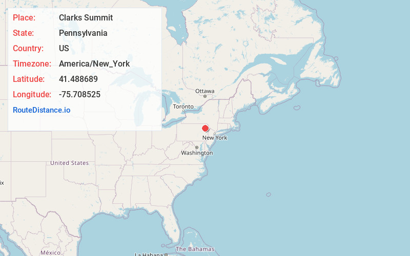
Full AddressClarks Summit, PA 18411
-
Coordinates41.4886892, -75.7085248
-
LocationClarks Summit , Pennsylvania , US
-
TimezoneAmerica/New_York
-
Current Local Time5:21:12 AM America/New_YorkWednesday, June 18, 2025
-
Website
-
Page Views0
About Clarks Summit
Clarks Summit is a borough in Lackawanna County, northwest of Scranton in Northeastern Pennsylvania. The population was 5,108 at the 2020 census. It is also the northern control city of the Pennsylvania Turnpike Northeast Extension, I-476, though the official terminus is in adjacent South Abington Township.


Nearby Places
Found 10 places within 50 miles

South Abington Township
1.3 mi
2.1 km
South Abington Township, PA 18411
Get directions

Scranton
5.9 mi
9.5 km
Scranton, PA
Get directions

Dunmore
6.2 mi
10.0 km
Dunmore, PA
Get directions

Scott
6.8 mi
10.9 km
Scott, PA 18447
Get directions
Archbald
8.9 mi
14.3 km
Archbald, PA
Get directions

Pittston
12.0 mi
19.3 km
Pittston, PA
Get directions

Carbondale
12.2 mi
19.6 km
Carbondale, PA 18407
Get directions

Exeter
12.9 mi
20.8 km
Exeter, PA 18643
Get directions

Plains
16.5 mi
26.6 km
Plains, PA
Get directions

Dallas
16.9 mi
27.2 km
Dallas, PA 18612
Get directions
Location Links
Local Weather
Weather Information
Coming soon!
Location Map
Static map view of Clarks Summit, Pennsylvania
Browse Places by Distance
Places within specific distances from Clarks Summit
Short Distances
Long Distances
Click any distance to see all places within that range from Clarks Summit. Distances shown in miles (1 mile ≈ 1.61 kilometers).