Distance to Clay, Pennsylvania

Calculating Your Route
Just a moment while we process your request...
Location Information
-
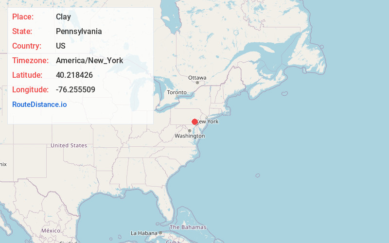
Full AddressClay, PA
-
Coordinates40.2184264, -76.2555085
-
LocationClay , Pennsylvania , US
-
TimezoneAmerica/New_York
-
Current Local Time3:50:12 AM America/New_YorkFriday, June 20, 2025
-
Page Views0
About Clay
Clay is an unincorporated community and census-designated place in Clay Township, Lancaster County, Pennsylvania, United States. It is located along U.S. Route 322 between Brickerville and Ephrata. As of the 2010 census, the population was 1,559.
Nearby Places
Found 10 places within 50 miles

Ephrata
4.8 mi
7.7 km
Ephrata, PA 17522
Get directions

Lititz
5.0 mi
8.0 km
Lititz, PA 17543
Get directions

West Cocalico Township
5.4 mi
8.7 km
West Cocalico Township, PA
Get directions

West Earl Township
7.7 mi
12.4 km
West Earl Township, PA
Get directions
East Cocalico Township
8.4 mi
13.5 km
East Cocalico Township, PA
Get directions
South Lebanon Township
8.5 mi
13.7 km
South Lebanon Township, PA
Get directions

Richland
9.4 mi
15.1 km
Richland, PA
Get directions
Leola
9.6 mi
15.4 km
Leola, PA
Get directions

Upper Leacock Township
10.3 mi
16.6 km
Upper Leacock Township, PA
Get directions
South Heidelberg Township
10.4 mi
16.7 km
South Heidelberg Township, PA
Get directions
Location Links
Local Weather
Weather Information
Coming soon!
Location Map
Static map view of Clay, Pennsylvania
Browse Places by Distance
Places within specific distances from Clay
Short Distances
Long Distances
Click any distance to see all places within that range from Clay. Distances shown in miles (1 mile ≈ 1.61 kilometers).