Distance to Clay Center, Kansas

Calculating Your Route
Just a moment while we process your request...
Location Information
-
Full AddressClay Center, KS 67432
-
Coordinates39.3769407, -97.1247428
-
LocationClay Center , Kansas , US
-
TimezoneAmerica/Chicago
-
Current Local Time6:24:40 AM America/ChicagoFriday, June 20, 2025
-
Website
-
Page Views0
About Clay Center
Clay Center is a city in and the county seat of Clay County, Kansas, United States. As of the 2020 census, the population of the city was 4,199.


Nearby Places
Found 5 places within 50 miles


Location Links
Local Weather
Weather Information
Coming soon!
Location Map
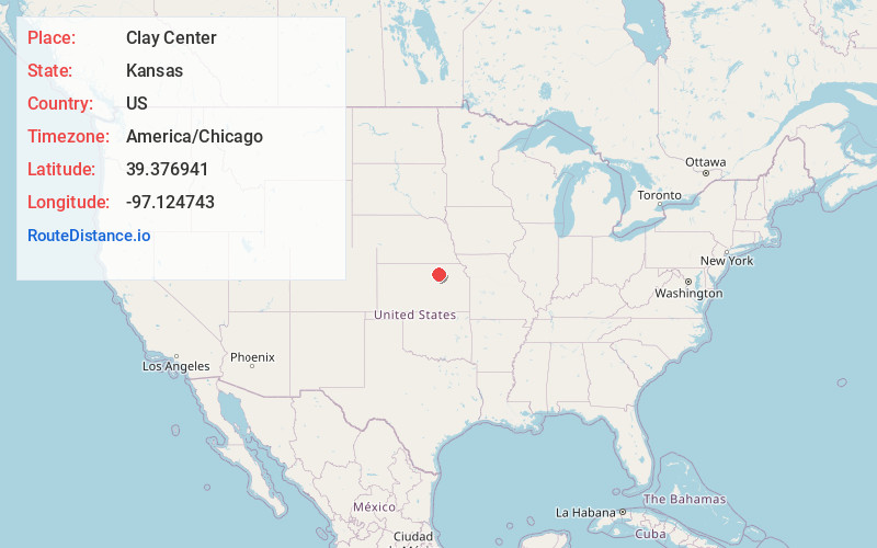
Static map view of Clay Center, Kansas
Browse Places by Distance
Places within specific distances from Clay Center
Short Distances
Long Distances
Click any distance to see all places within that range from Clay Center. Distances shown in miles (1 mile ≈ 1.61 kilometers).